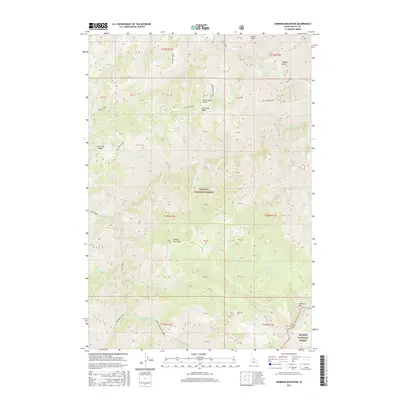
2017 Map of Mormon Mountain
USGS Topo · Published 2017About this map
Mormon Mtn and Sheep Horn Mtn anchor the high country of Central Idaho, where the administrative boundaries of the Payette National Forest and Salmon National Forest meet. This terrain is defined by the deep drainage systems of Big Creek and Rush Creek, with water carved into steep canyons from high points like Rush Creek Point.
Find a feature on this map
31 named features on this map. Tap any name to fly to it.
Don’t see what you’re looking for? This feature index may not catch every label — zoom into the map to look around manually.
Map Details
Editions of this 2017 Mormon Mountain Map
This is the sole edition of this map. No revisions or reprints were ever made.
Other maps of this area

1930 · Casto
USGS Topo · 1:125,000

1956 · Elk City
USGS Topo · 1:250,000

1957 · Challis
USGS Topo · 1:250,000

1960 · Elk City
USGS Topo · 1:250,000

1960 · Challis
USGS Topo · 1:250,000

1962 · Mormon Mtn
USGS Topo · 1:24,000

1962 · Vinegar Hill
USGS Topo · 1:24,000

1962 · Bear Creek Point
USGS Topo · 1:24,000

1962 · Papoose Peak
USGS Topo · 1:24,000

1962 · Shellrock Peak
USGS Topo · 1:24,000