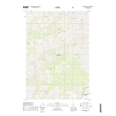
2020 Map of Mormon Mountain
USGS Topo · Published 2020About this map
The Payette National Forest and Salmon National Forest meet in this high-elevation corner of Valley County, where the landscape is defined by the massive divide of Big Creek Ridge. This 2020 survey documents a complex drainage network where the headwaters of Canyon Creek and Rush Creek carve deep into the Idaho wilderness. Landmarks like Sheep Horn Mtn and Mormon Mtn provide fixed points for navigating the steep terrain between Lobauer Basin and Browns Basin. The map detail captures the remote character of the interior mountains, showing no major roads or settlements, only the intricate topography and named water features like Telephone Creek and Lewis Cr that have guided packers and rangers through these woods for generations.
Find a feature on this map
39 named features on this map. Tap any name to fly to it.
Don’t see what you’re looking for? This feature index may not catch every label — zoom into the map to look around manually.
Map Details
Editions of this 2020 Mormon Mountain Map
This is the sole edition of this map. No revisions or reprints were ever made.
Other maps of this area

1930 · Casto
USGS Topo · 1:125,000

1956 · Elk City
USGS Topo · 1:250,000

1957 · Challis
USGS Topo · 1:250,000

1960 · Elk City
USGS Topo · 1:250,000

1960 · Challis
USGS Topo · 1:250,000

1962 · Mormon Mtn
USGS Topo · 1:24,000

1962 · Vinegar Hill
USGS Topo · 1:24,000

1962 · Bear Creek Point
USGS Topo · 1:24,000

1962 · Papoose Peak
USGS Topo · 1:24,000

1962 · Shellrock Peak
USGS Topo · 1:24,000