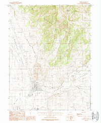
1983 Map of Moroni Gap
USGS Topo · Published 1984About this map
Moroni sits at the foot of Moroni Hill in this Sanpete Valley landscape, where the grid-like city streets give way to the agricultural systems of the San Pitch River basin. Water management is a central theme of the geography, evidenced by the Moroni and Mount Pleasant Canal and the Wales Reservoir. To the west, the Cedar Hills rise sharply, featuring prominent landmarks like Devils Peak and Black Knob.
Find a feature on this map
25 named features on this map. Tap any name to fly to it.
Don’t see what you’re looking for? This feature index may not catch every label — zoom into the map to look around manually.
Map Details
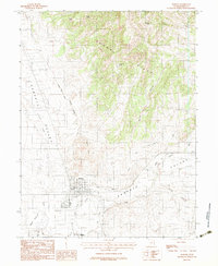
Editions of this 1983 Moroni Gap Map
2 editions found
Other maps of this area

1885 · Manti
USGS Topo · 1:250,000

1895 · Manti
USGS Topo · 1:250,000

1951 · Moroni
USGS Topo · 1:62,500

1956 · Price
USGS Topo · 1:250,000

1960 · Price
USGS Topo · 1:250,000

1962 · Price
USGS Topo · 1:250,000

1965 · Wales
USGS Topo · 1:24,000

1966 · Spring City
USGS Topo · 1:24,000

1966 · Chester
USGS Topo · 1:24,000
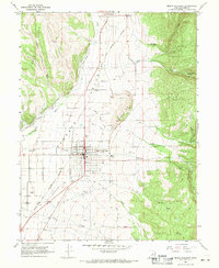
1967 · Mount Pleasant
USGS Topo · 1:24,000