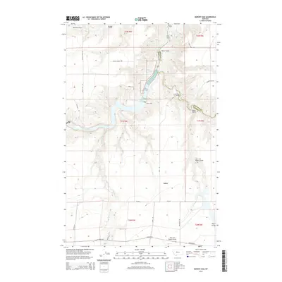
2014 Map of Morony Dam
USGS Topo · Published 2014About this map
Morony Dam and the Morony Reservoir anchor this section of the Missouri River corridor along the border of Cascade and Chouteau counties. The landscape is defined by the deep incisions of high plains drainages, including Belt Creek and Box Elder Cr, which flow toward the river through numerous coulees like Portage Coulee and Hower Coulee. The small settlement of Salem is situated on the plateau south of the river, connected by a network of rural routes such as Salem Road Bridge and Highwood Rd. This geography highlights the local reliance on the river for power and the challenges of early transit across the broken terrain of Blackfeet Gulch and the surrounding breaks. Geologic features like the Sulphur Spring indicate the unique hydrogeology of the river valley, while the presence of the Falls upstream marks the rugged natural transition of the Missouri in this region.
Find a feature on this map
35 named features on this map. Tap any name to fly to it.
Don’t see what you’re looking for? This feature index may not catch every label — zoom into the map to look around manually.
Map Details
Editions of this 2014 Morony Dam Map
This is the sole edition of this map. No revisions or reprints were ever made.
Other maps of this area

1886 · Great Falls
USGS Topo · 1:250,000

1890 · Fort Benton
USGS Topo · 1:250,000

1892 · Fort Benton
USGS Topo · 1:250,000

1897 · Fort Benton
USGS Topo · 1:250,000

1948 · Portage
USGS Topo · 1:62,500

1949 · Portage
USGS Topo · 1:62,500

1954 · Great Falls
USGS Topo · 1:250,000

1954 · Lander Crossing
USGS Topo · 1:24,000

1954 · Waltham
USGS Topo · 1:24,000

1955 · Stockett
USGS Topo · 1:62,500