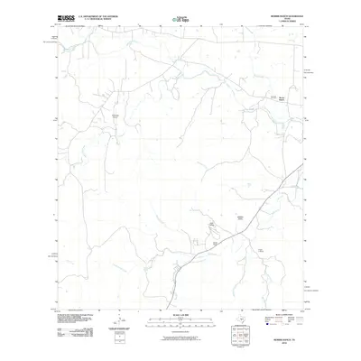
2010 Map of Morris Ranch
USGS Topo · Published 2010About this map
The Pedernales River meanders across the northern reaches of this Hill Country landscape, providing a primary drainage for the numerous creeks and draws that define the local topography. This 2010 survey centers on the historic Morris Ranch settlement, which sits near the river's southern bank alongside the Hill Crest Cemetery. The layout of the land reflects a deep history of ranching and early aviation, with the White Oak Airport positioned near the western edge of the quadrangle.
Find a feature on this map
18 named features on this map. Tap any name to fly to it.
Don’t see what you’re looking for? This feature index may not catch every label — zoom into the map to look around manually.
Map Details
Editions of this 2010 Morris Ranch Map
This is the sole edition of this map. No revisions or reprints were ever made.
Other maps of this area

1894 · Fredericksburg
USGS Topo · 1:125,000

1894 · Kerrville
USGS Topo · 1:125,000

1954 · Llano
USGS Topo · 1:250,000

1955 · Llano
USGS Topo · 1:250,000

1956 · Llano
USGS Topo · 1:250,000

1964 · Oak Crest Park
USGS Topo · 1:24,000

1964 · Morris Ranch
USGS Topo · 1:24,000

1964 · Nott Branch
USGS Topo · 1:24,000
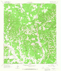
1964 · Cypress Creek
USGS Topo · 1:24,000
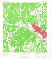
1964 · Kerrville
USGS Topo · 1:24,000