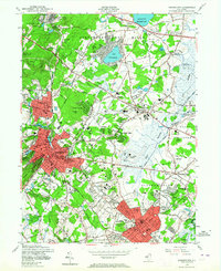
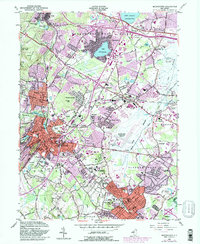
1954 Map of Morristown
USGS Topo · Published 1964About this map
Morristown and its surrounding boroughs are captured here in the mid-1950s, a period of established residential growth and institutional expansion in Morris County. The map highlights the significant historical footprint of the Washington Headquarters (National Park) alongside major educational and medical landmarks like Drew University, the College of St Elizabeth, and the sprawling grounds of Greystone Park State Hospital. The landscape is characterized by a mix of dense suburban development and large open water bodies such as Lake Parsippany and the Boonton Reservoir. Industrial and transit infrastructure is prominently featured, including the Morristown and Erie RR and the Morristown Airport, reflecting the area's role as a regional hub. Local community life is visible through numerous neighborhood schools like Thomas Jefferson Sch and local gathering spots like Braidburn Country Club.
Find a feature on this map
72 named features on this map. Tap any name to fly to it.
Don’t see what you’re looking for? This feature index may not catch every label — zoom into the map to look around manually.
Map Details
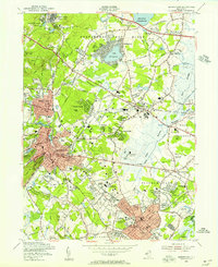
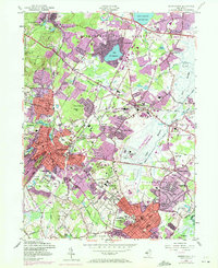
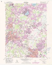
Editions of this 1954 Morristown Map
5 editions found
Other maps of this area

1888 · Plainfield
USGS Topo · 1:62,500

1888 · Morristown
USGS Topo · 1:62,500

1888 · Lake Hopatcong
USGS Topo · 1:62,500

1891 · Somerville
USGS Topo · 1:62,500

1893 · Plainfield
USGS Topo · 1:62,500

1893 · Somerville
USGS Topo · 1:62,500

1894 · Morristown
USGS Topo · 1:62,500

1894 · Lake Hopatcong
USGS Topo · 1:62,500

1898 · Lake Hopatcong
USGS Topo · 1:62,500

1898 · Morristown
USGS Topo · 1:62,500