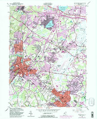
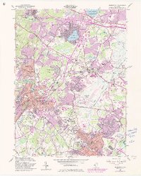
1954 Map of Morristown
USGS Topo · Published 1982About this map
Morristown serves as a dense suburban and historical anchor for this mid-century New Jersey landscape, which traces the transition from institutional estates to post-war residential expansion. The presence of the Morristown National Historical Park (Washington Headquarters) underscores the region's Revolutionary War significance, while massive 20th-century institutions like the Greystone Park State Hospital, Drew University, and the College of St Elizabeth define the local geography. Transport networks are in a state of flux, with the Erie Lackawanna RR and Conrail lines moving commuters through Convent Station and Madison. To the north and east, the landscape opens into the Troy Meadows Natural Area and the residential clusters around Lake Parsippany, while Morristown Municipal Airport signals the era's increasing reliance on aviation. Numerous golf courses and cemeteries, such as Gate of Heaven Cemetery, fill the spaces between the growing boroughs of Florham Park and Whippany.
Find a feature on this map
74 named features on this map. Tap any name to fly to it.
Don’t see what you’re looking for? This feature index may not catch every label — zoom into the map to look around manually.
Map Details
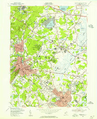
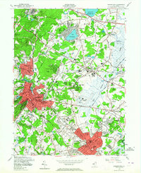
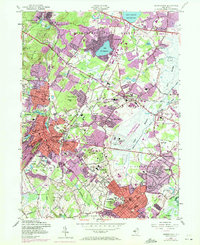
Editions of this 1954 Morristown Map
5 editions found
Other maps of this area

1888 · Plainfield
USGS Topo · 1:62,500

1888 · Morristown
USGS Topo · 1:62,500

1888 · Lake Hopatcong
USGS Topo · 1:62,500

1891 · Somerville
USGS Topo · 1:62,500

1893 · Plainfield
USGS Topo · 1:62,500

1893 · Somerville
USGS Topo · 1:62,500

1894 · Morristown
USGS Topo · 1:62,500

1894 · Lake Hopatcong
USGS Topo · 1:62,500

1898 · Lake Hopatcong
USGS Topo · 1:62,500

1898 · Morristown
USGS Topo · 1:62,500