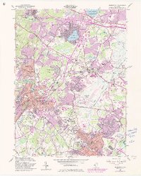
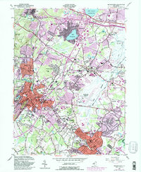
1954 Map of Morristown
USGS Topo · Published 1982About this map
The Morristown National Historical Park anchors this mid-century survey of Morris County, where Revolutionary War heritage meets post-war suburban development. The landscape is a complex network of established townships including Morristown, Florham Park, and Madison, connected by the Morristown and Erie Railroad and the older Erie Railroad lines. Academic and institutional presence is heavy, noted by the sprawling grounds of Drew University and the College of St Elizabeth, alongside the notable Greystone Park State Hospital in the northwest. Water features like Lake Parsippany and the Whippany River are flanked by expanding residential blocks, yet the Troy Meadows Natural Area preserves the low-lying wetlands of the east. This edition documents the region before the full completion of the interstate system, capturing the transition of the Whippany and Hanover areas into the modern commuter corridor.
Find a feature on this map
79 named features on this map. Tap any name to fly to it.
Don’t see what you’re looking for? This feature index may not catch every label — zoom into the map to look around manually.
Map Details
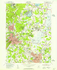
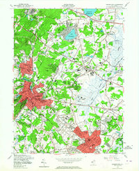
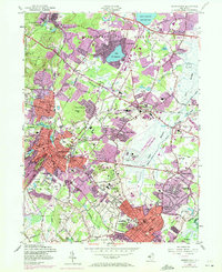
Editions of this 1954 Morristown Map
5 editions found
Other maps of this area

1888 · Plainfield
USGS Topo · 1:62,500

1888 · Morristown
USGS Topo · 1:62,500

1888 · Lake Hopatcong
USGS Topo · 1:62,500

1891 · Somerville
USGS Topo · 1:62,500

1893 · Plainfield
USGS Topo · 1:62,500

1893 · Somerville
USGS Topo · 1:62,500

1894 · Morristown
USGS Topo · 1:62,500

1894 · Lake Hopatcong
USGS Topo · 1:62,500

1898 · Lake Hopatcong
USGS Topo · 1:62,500

1898 · Morristown
USGS Topo · 1:62,500