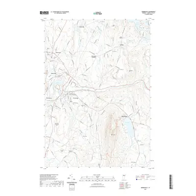
2021 Map of Morrisville
USGS Topo · Published 2021About this map
Morrisville and Hyde Park serve as the primary population centers on this Lamoille County landscape, situated along the winding course of the Lamoille River. The terrain is defined by the significant elevation of Elmore Mtn and the Green Mountains, which look down upon a valley shaped by the waters of Lake Elmore and the Green River Reservoir. The area's aviation infrastructure is well-represented by the Morrisville-Stowe State Airport and the smaller Two Tails Airport near Ryder Brook.
Find a feature on this map
140 named features on this map. Tap any name to fly to it.
Don’t see what you’re looking for? This feature index may not catch every label — zoom into the map to look around manually.
Map Details
Editions of this 2021 Morrisville Map
This is the sole edition of this map. No revisions or reprints were ever made.
Other maps of this area

1919 · Montpelier
USGS Topo · 1:62,500

1921 · Montpelier
USGS Topo · 1:62,500

1927 · Hyde Park
USGS Topo · 1:48,000

1928 · Hardwick
USGS Topo · 1:62,500

1930 · Hyde Park
USGS Topo · 1:62,500

1934 · Hardwick
USGS Topo · 1:48,000

1938 · Hardwick
USGS Topo · 1:62,500

1939 · Plainfield
USGS Topo · 1:48,000

1940 · Plainfield
USGS Topo · 1:62,500

1943 · Plainfield
USGS Topo · 1:62,500