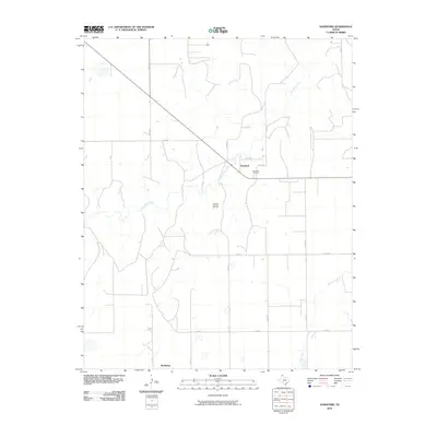
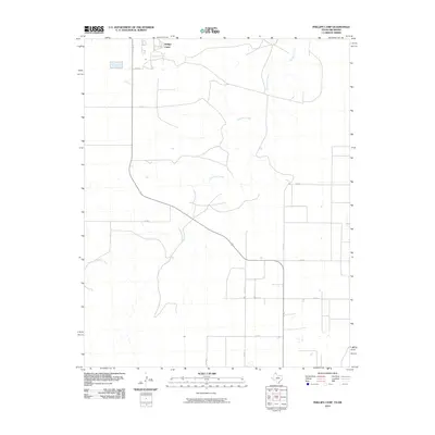
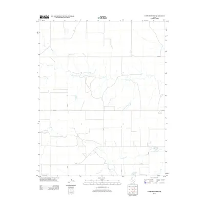
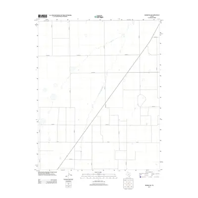
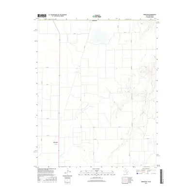
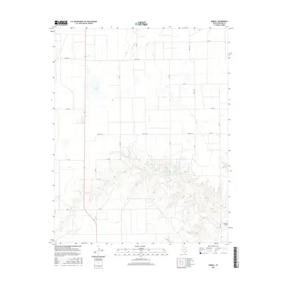
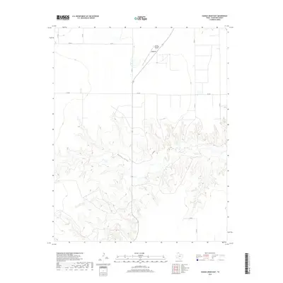
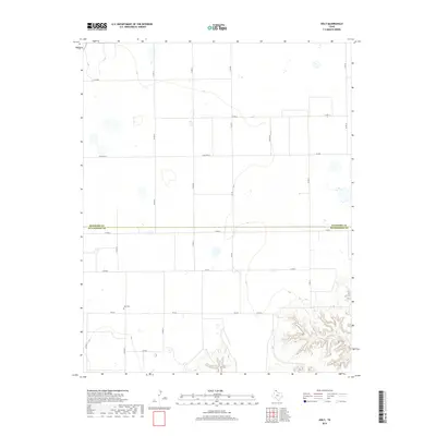
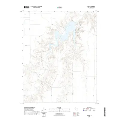
2022 Map of Morse SE
USGS Topo · Published 2022About this map
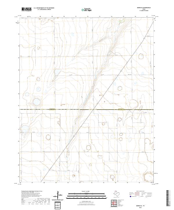
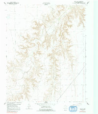
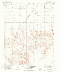
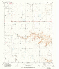
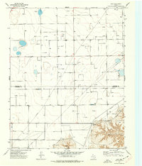
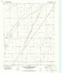
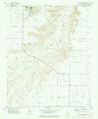
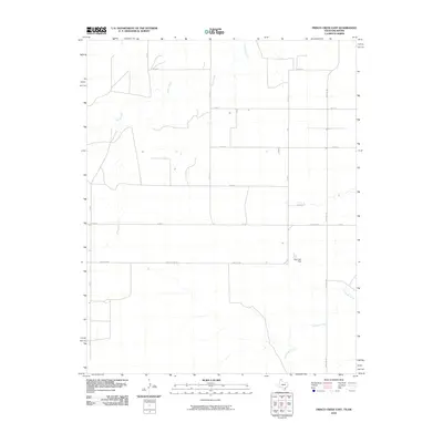
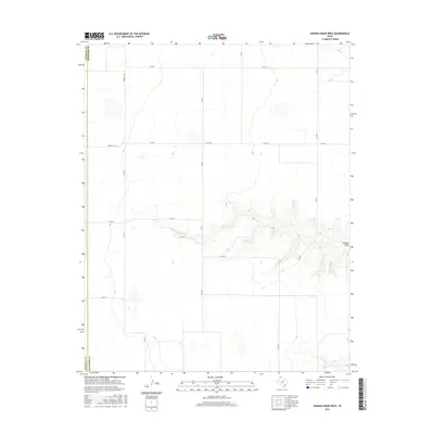
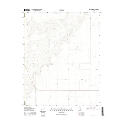
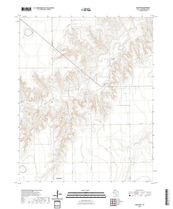
The northern Panhandle landscape is defined by the winding course of Horse Creek, which cuts a narrow path through the expansive high plains of this region. The map captures the boundary between Hansford County and Hutchinson County, a line that bisects the drainage basin as the creek flows toward the north. A rigid network of county roads, including Co RD 18 and Co RD CC, segments the terrain into large agricultural blocks, reflecting the orderly land division characteristic of this cattle and wheat country. Modern transportation routes like State Hwy 51 and FM 281 provide the primary north-south and east-west corridors, connecting the isolated homesteads and ranching operations that dot this sparsely populated frontier. The drainage patterns of Horse Cr and its small tributaries are the primary natural landmarks in an otherwise highly organized, grid-based rural environment.
Find a feature on this map
19 named features on this map. Tap any name to fly to it.
Don’t see what you’re looking for? This feature index may not catch every label — zoom into the map to look around manually.
Map Details
Editions of this 2022 Morse SE Map
This is the sole edition of this map. No revisions or reprints were ever made.
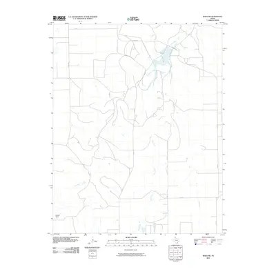
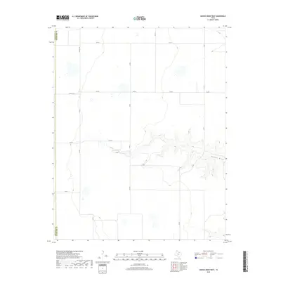
Historical Maps of Hutchinson County Through Time
78 maps found
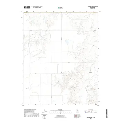
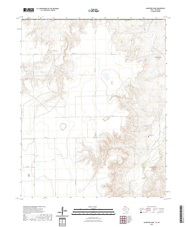
1962 Hansford Camp
Hansford County, TX
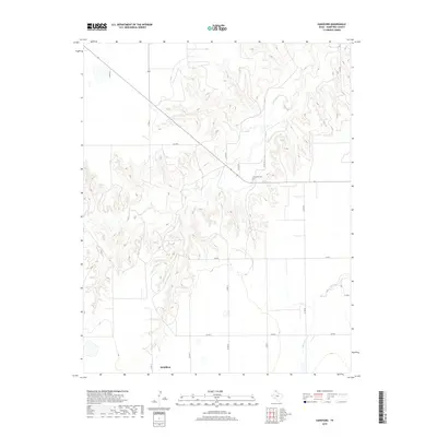
1962 Hansford
Hansford County, TX
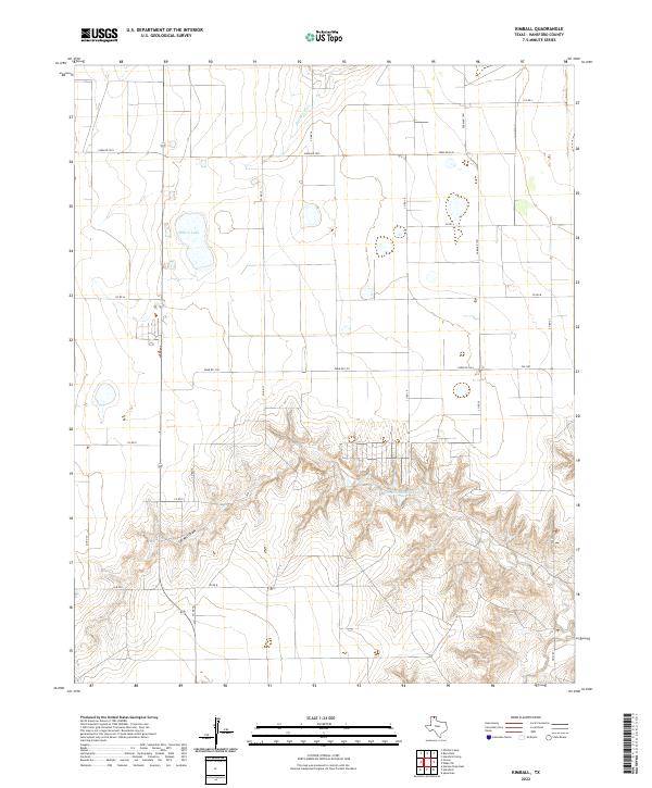
1962 Kimball
Hansford County, TX
1962 Waka SW
Hansford County, TX
1974 Bernstein
Hansford County, TX
1974 Capps Switch SE
Hansford County, TX
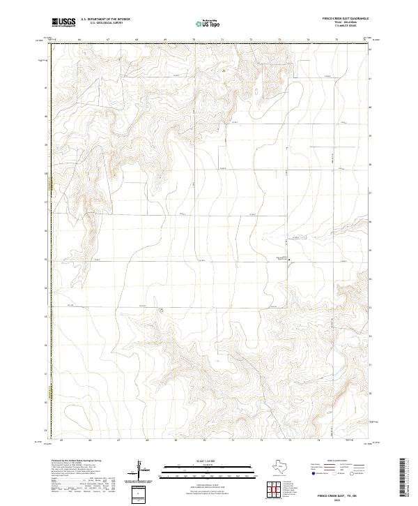
1974 Frisco Creek East
Hansford County, TX
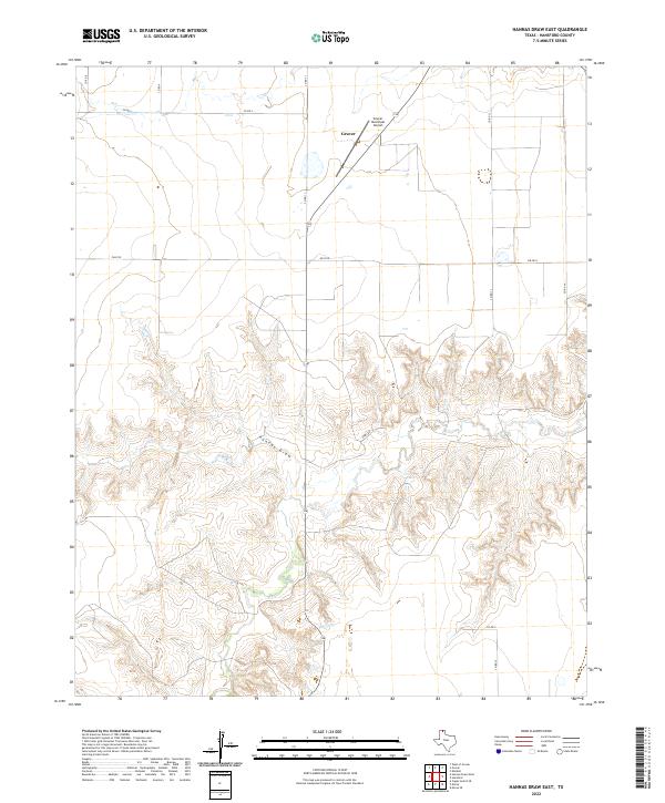
1974 Hannas Draw East
Hansford County, TX
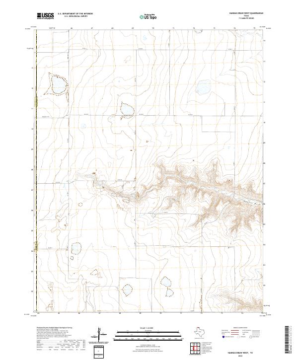
1974 Hannas Draw West
Hansford County, TX
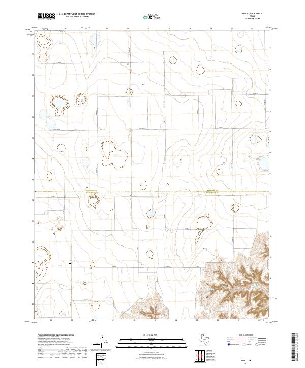
1974 Holt
Hansford County, TX
1974 Morse SE
Hansford County, TX
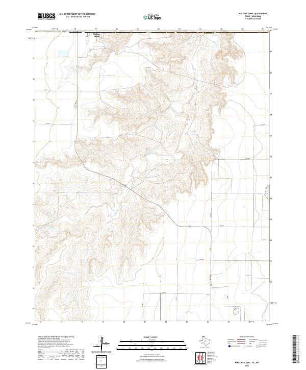
1974 Phillips Camp
Hansford County, TX
1974 West of Gruver
Hansford County, TX
2010 Bernstein
Hansford County, TX
2010 Capps Switch SE
Hansford County, TX
2010 Frisco Creek East
Hansford County, TX
2010 Hannas Draw East
Hansford County, TX
2010 Hannas Draw West
Hansford County, TX
2010 Hansford Camp
Hansford County, TX
2010 Hansford
Hansford County, TX
2010 Holt
Hansford County, TX
2010 Kimball
Hansford County, TX
2010 Morse SE
Hansford County, TX
2010 Phillips Camp
Hansford County, TX
2010 Waka SW
Hansford County, TX
2010 West of Gruver
Hansford County, TX
2012 Bernstein
Hansford County, TX
2012 Capps Switch SE
Hansford County, TX
2012 Frisco Creek East
Hansford County, TX
2012 Hannas Draw East
Hansford County, TX
2012 Hannas Draw West
Hansford County, TX
2012 Hansford Camp
Hansford County, TX
2012 Hansford
Hansford County, TX
2012 Holt
Hansford County, TX
2012 Kimball
Hansford County, TX
2012 Morse SE
Hansford County, TX
2012 Phillips Camp
Hansford County, TX
2012 Waka SW
Hansford County, TX
2012 West of Gruver
Hansford County, TX
2016 Bernstein
Hansford County, TX
2016 Capps Switch SE
Hansford County, TX
2016 Frisco Creek East
Hansford County, TX
2016 Hannas Draw East
Hansford County, TX
2016 Hannas Draw West
Hansford County, TX
2016 Hansford Camp
Hansford County, TX
2016 Hansford
Hansford County, TX
2016 Holt
Hansford County, TX
2016 Kimball
Hansford County, TX
2016 Morse SE
Hansford County, TX
2016 Phillips Camp
Hansford County, TX
2016 Waka SW
Hansford County, TX
2016 West of Gruver
Hansford County, TX
2019 Bernstein
Hansford County, TX
2019 Capps Switch SE
Hansford County, TX
2019 Frisco Creek East
Hansford County, TX
2019 Hannas Draw East
Hansford County, TX
2019 Hannas Draw West
Hansford County, TX
2019 Hansford Camp
Hansford County, TX
2019 Hansford
Hansford County, TX
2019 Holt
Hansford County, TX
2019 Kimball
Hansford County, TX
2019 Morse SE
Hansford County, TX
2019 Phillips Camp
Hansford County, TX
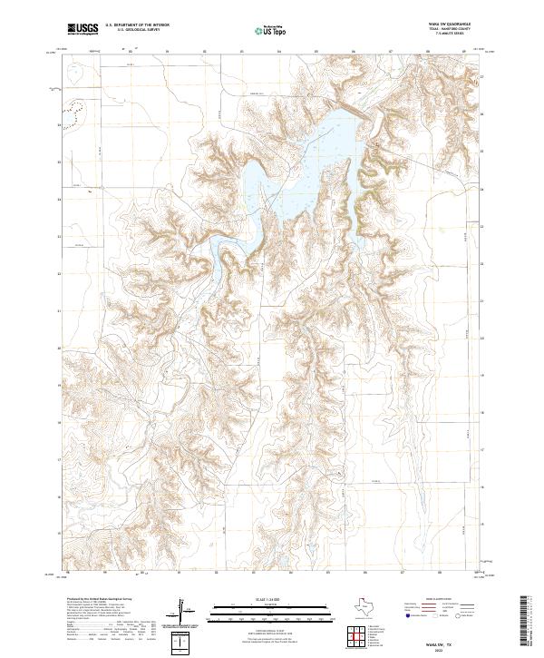
2019 Waka SW
Hansford County, TX
2019 West of Gruver
Hansford County, TX
2022 Bernstein
Hansford County, TX
2022 Capps Switch SE
Hansford County, TX
2022 Frisco Creek East
Hansford County, TX
2022 Hannas Draw East
Hansford County, TX
2022 Hannas Draw West
Hansford County, TX
2022 Hansford Camp
Hansford County, TX
2022 Hansford
Hansford County, TX
2022 Holt
Hansford County, TX
2022 Kimball
Hansford County, TX
2022 Morse SE
Hansford County, TX
2022 Phillips Camp
Hansford County, TX
2022 Waka SW
Hansford County, TX
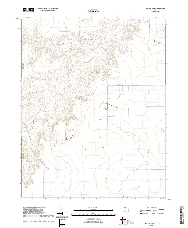
2022 West of Gruver
Hansford County, TX