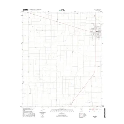
2016 Map of Morton
USGS Topo · Published 2016About this map
Morton serves as the focal point of this High Plains landscape, organized by a precise grid of residential and commercial streets. The town's layout is meticulously detailed, showing the intersection of local routes like FM 1780 and E Washington Ave with a broad network of county roads that extend into the surrounding agricultural terrain. To the north of the main settlement lies Morton Memorial Cem, a significant site for genealogical research in Cochran County. The surrounding area is defined by a rhythmic pattern of county roads, such as Co RD 64 and Co RD 74, which partition the land into large sections typical of West Texas ranching and farming territory. The geographic data reveals the subtle topography and water catchment basins common to this region, providing a clear look at how human infrastructure adheres to the flat, expansive environment of the Llano Estacado.
Find a feature on this map
56 named features on this map. Tap any name to fly to it.
Don’t see what you’re looking for? This feature index may not catch every label — zoom into the map to look around manually.
Map Details
Editions of this 2016 Morton Map
This is the sole edition of this map. No revisions or reprints were ever made.
Other maps of this area

1954 · Brownfield
USGS Topo · 1:250,000

1958 · Brownfield
USGS Topo · 1:250,000

1962 · Brownfield
USGS Topo · 1:250,000

1969 · Maple
USGS Topo · 1:24,000

1969 · Enochs
USGS Topo · 1:24,000

1969 · Lehman
USGS Topo · 1:24,000

1970 · Morton SW
USGS Topo · 1:24,000

1970 · Whiteface SW
USGS Topo · 1:24,000

1970 · Morton NW
USGS Topo · 1:24,000

1971 · Whiteface NW
USGS Topo · 1:24,000