
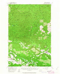
1957 Map of Morton
USGS Topo · Published 1959About this map
The Tilton River and Cowlitz River valleys define the lower half of this Lewis County landscape, serving as the primary corridors for settlement and industry during the late 1950s. The town of Morton serves as a regional hub, complete with its Logging RR, High Sch, and industrial infrastructure like a Gas Tank and Sewage Disposal plant. Further west, the Cowlitz valley houses several small communities including Mossyrock, Ajlune, and Riffe—the latter situated along the river's path before later hydrological changes altered the valley floor.
Find a feature on this map
89 named features on this map. Tap any name to fly to it.
Don’t see what you’re looking for? This feature index may not catch every label — zoom into the map to look around manually.
Map Details
Editions of this 1957 Morton Map
3 editions found
Other maps of this area

1916 · Chehalis
USGS Topo · 1:125,000

1919 · Mount St Helens
USGS Topo · 1:125,000

1937 · Eatonville
USGS Topo · 1:125,000

1941 · Tanwax Lake
USGS Topo · 1:62,500

1942 · Toutle
USGS Topo · 1:62,500

1943 · Willapa
USGS Topo · 1:62,500

1944 · Yelm
USGS Topo · 1:62,500

1944 · Ohop Valley
USGS Topo · 1:62,500

1949 · Ohop Valley
USGS Topo · 1:62,500

1949 · Yelm
USGS Topo · 1:62,500