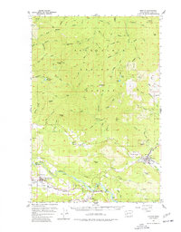
1957 Map of Morton
USGS Topo · Published 1977About this map
Morton and the surrounding timberlands of the Gifford Pinchot National Forest define this 1957 topographic study of eastern Lewis County. The landscape is characterized by the confluence of the Tilton River and Cowlitz River, where valley settlements like Mossyrock, Ajlune, and Swofford are established before significant hydroelectric changes altered the river basins. Local infrastructure is anchored by the railroad lines serving the lumber economy, with a clear view of the town site's High School and Sewage Disposal facilities.
Find a feature on this map
98 named features on this map. Tap any name to fly to it.
Don’t see what you’re looking for? This feature index may not catch every label — zoom into the map to look around manually.
Map Details
Editions of this 1957 Morton Map
3 editions found

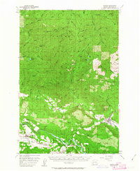
Other maps of this area

1916 · Chehalis
USGS Topo · 1:125,000

1919 · Mount St Helens
USGS Topo · 1:125,000

1937 · Eatonville
USGS Topo · 1:125,000

1941 · Tanwax Lake
USGS Topo · 1:62,500

1942 · Toutle
USGS Topo · 1:62,500

1943 · Willapa
USGS Topo · 1:62,500

1944 · Yelm
USGS Topo · 1:62,500

1944 · Ohop Valley
USGS Topo · 1:62,500

1949 · Ohop Valley
USGS Topo · 1:62,500

1949 · Yelm
USGS Topo · 1:62,500