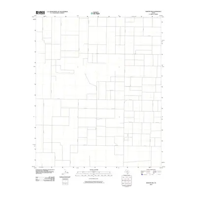
2010 Map of Morton NW
USGS Topo · Published 2010About this map
Agricultural patterns and a strict rectangular road grid characterize this high plains landscape in Cochran County. The area is defined by its methodical subdivision into large parcels, serviced by a network of county roads such as Co Rd 41, Co Rd 57, and Co Rd 77. This organization reflects the systematic development of West Texas ranching and farming lands, where transport is facilitated by long, straight thoroughfares. Fm 1169 serves as the primary paved artery connecting this rural expanse to the surrounding region. The lack of concentrated settlements or named water bodies on the map emphasizes the specialized land use and the reliance on subterranean water sources for the scattered homesteads and industrial sites distributed across the grid.
Find a feature on this map
18 named features on this map. Tap any name to fly to it.
Don’t see what you’re looking for? This feature index may not catch every label — zoom into the map to look around manually.
Map Details
Editions of this 2010 Morton NW Map
This is the sole edition of this map. No revisions or reprints were ever made.
Other maps of this area

1954 · Brownfield
USGS Topo · 1:250,000

1958 · Brownfield
USGS Topo · 1:250,000

1962 · Brownfield
USGS Topo · 1:250,000

1969 · Maple
USGS Topo · 1:24,000

1969 · Enochs
USGS Topo · 1:24,000

1969 · Lehman
USGS Topo · 1:24,000

1970 · Lingo
USGS Topo · 1:24,000

1970 · Bledsoe
USGS Topo · 1:24,000

1970 · Morton SW
USGS Topo · 1:24,000

1970 · Morton NW
USGS Topo · 1:24,000