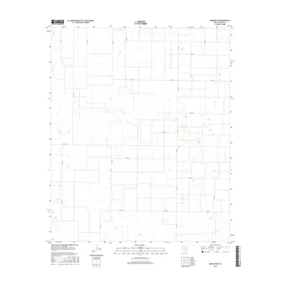
2016 Map of Morton NW
USGS Topo · Published 2016About this map
Cochran County’s high plains terrain is defined by a rigorous grid of section lines and rural thoroughfares in this mid-2010s survey. The landscape is characterized by its agricultural geometry, where long-distance county roads such as Co Rd 41 and Co Rd 55 stretch across the Llano Estacado. The network is anchored by Fm 1169, which serves as a primary north-south artery for this corner of the Texas Panhandle. Small depressions and playa lakes are scattered throughout the quadrangle, reflecting the region's unique endorheic drainage patterns. While no major towns are centered on this specific sheet, the intersection of routes like Co Rd 84 and Co Rd 77 illustrates the essential transport infrastructure required for industrial-scale farming and ranching in West Texas.
Find a feature on this map
17 named features on this map. Tap any name to fly to it.
Don’t see what you’re looking for? This feature index may not catch every label — zoom into the map to look around manually.
Map Details
Editions of this 2016 Morton NW Map
This is the sole edition of this map. No revisions or reprints were ever made.
Other maps of this area

1954 · Brownfield
USGS Topo · 1:250,000

1958 · Brownfield
USGS Topo · 1:250,000

1962 · Brownfield
USGS Topo · 1:250,000

1969 · Maple
USGS Topo · 1:24,000

1969 · Enochs
USGS Topo · 1:24,000

1969 · Lehman
USGS Topo · 1:24,000

1970 · Lingo
USGS Topo · 1:24,000

1970 · Bledsoe
USGS Topo · 1:24,000

1970 · Morton SW
USGS Topo · 1:24,000

1970 · Morton NW
USGS Topo · 1:24,000