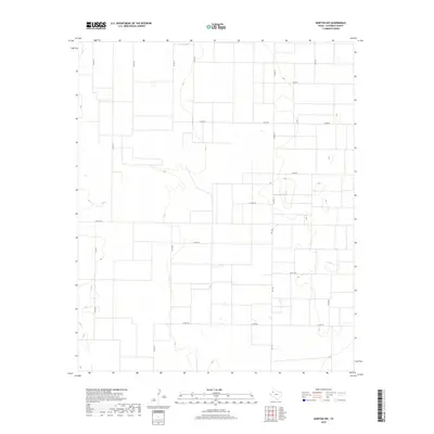
2019 Map of Morton NW
USGS Topo · Published 2019About this map
Agricultural partitions and a rectilinear grid of county roads define this portion of the Texas Panhandle in Cochran County. The landscape is characterized by its organized surveyed layout, where routes like Co Rd 41 and Co Rd 55 create the framework for the region's farming and ranching operations. The terrain includes subtle depressions and drainage patterns typical of the High Plains, with a series of small, ephemeral basins scattered between the major thoroughfares. Modern infrastructure is represented by Fm 1169, which serves as a primary north-south artery connecting the disparate rural sections. This 2019 survey documents the enduring spatial logic of the Llano Estacado, where the intersection of roads like Co Rd 110 and Co Rd 77 marks the boundary of large-scale land holdings in a region defined by its vast horizontal reach and agricultural productivity.
Find a feature on this map
17 named features on this map. Tap any name to fly to it.
Don’t see what you’re looking for? This feature index may not catch every label — zoom into the map to look around manually.
Map Details
Editions of this 2019 Morton NW Map
This is the sole edition of this map. No revisions or reprints were ever made.
Other maps of this area

1954 · Brownfield
USGS Topo · 1:250,000

1958 · Brownfield
USGS Topo · 1:250,000

1962 · Brownfield
USGS Topo · 1:250,000

1969 · Maple
USGS Topo · 1:24,000

1969 · Enochs
USGS Topo · 1:24,000

1969 · Lehman
USGS Topo · 1:24,000

1970 · Lingo
USGS Topo · 1:24,000

1970 · Bledsoe
USGS Topo · 1:24,000

1970 · Morton SW
USGS Topo · 1:24,000

1970 · Morton NW
USGS Topo · 1:24,000