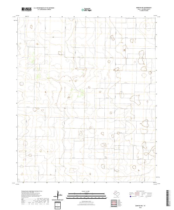
2022 Map of Morton NW
USGS Topo · Published 2022About this map
Cochran County agriculture and a strictly partitioned section-line landscape define this West Texas territory. The map reveals the rigid geometry of the High Plains, where the terrain is marked almost exclusively by a grid of rural routes. Secondary arteries such as Fm 1169 and an extensive network of local roads including Co Rd 110 and Co Rd 84 facilitate movement across this productive prairie. The absence of named settlements or major water bodies highlights the specialized nature of this quadrant, which serves as a record of modern land management and ranching infrastructure on the Llano Estacado. Researchers of contemporary Texas geography can trace the connectivity between remote corridors like Co Rd 130 and Co Rd 41 in a region where the road is the primary landmark.
Find a feature on this map
16 named features on this map. Tap any name to fly to it.
Don’t see what you’re looking for? This feature index may not catch every label — zoom into the map to look around manually.
Map Details
Editions of this 2022 Morton NW Map
This is the sole edition of this map. No revisions or reprints were ever made.
Other maps of this area

1954 · Brownfield
USGS Topo · 1:250,000

1958 · Brownfield
USGS Topo · 1:250,000

1962 · Brownfield
USGS Topo · 1:250,000

1969 · Maple
USGS Topo · 1:24,000

1969 · Enochs
USGS Topo · 1:24,000

1969 · Lehman
USGS Topo · 1:24,000

1970 · Lingo
USGS Topo · 1:24,000

1970 · Bledsoe
USGS Topo · 1:24,000

1970 · Morton SW
USGS Topo · 1:24,000

1970 · Morton NW
USGS Topo · 1:24,000