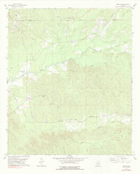
1978 Map of Morvin
USGS Topo · Published 1991About this map
The Old Indian Treaty Boundary defines the northern edge of this landscape, marking a historical division between Clarke and Marengo counties. This rural interior of Alabama is characterized by a dense network of creek systems including Bashi Creek, Deep Creek, and the prominent Tallahatta Creek. Settlements are dispersed throughout the region, often centered around local congregations such as Bashan Ch, Tallahatta Ch, and Walnut Grove Ch.
Find a feature on this map
34 named features on this map. Tap any name to fly to it.
Don’t see what you’re looking for? This feature index may not catch every label — zoom into the map to look around manually.
Map Details
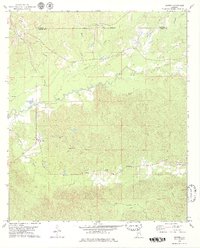
Editions of this 1978 Morvin Map
2 editions found
Other maps of this area

1953 · Montgomery
USGS Topo · 1:250,000

1953 · Andalusia
USGS Topo · 1:250,000

1953 · Hattiesburg
USGS Topo · 1:250,000

1953 · Meridian
USGS Topo · 1:250,000

1956 · Montgomery
USGS Topo · 1:250,000

1957 · Meridian
USGS Topo · 1:250,000

1957 · Montgomery
USGS Topo · 1:250,000

1957 · Andalusia
USGS Topo · 1:250,000

1958 · Hattiesburg
USGS Topo · 1:250,000

1965 · Meridian
USGS Topo · 1:250,000