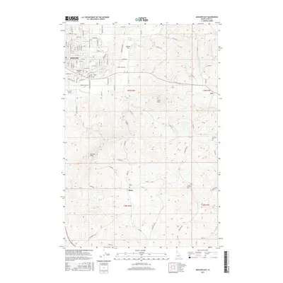
2017 Map of Moscow East
USGS Topo · Published 2017About this map
Moscow and its eastward expansion are documented in this 2017 study, where the urban street grid transitions into the wheat-covered hills of the Palouse. The terrain is defined by prominent elevations such as Paradise Ridge and Tomer Butte, which overlook the agricultural drainages of the S Fork Palouse River and Little Potlatch Cr. This area is particularly valuable for genealogists, as it captures numerous rural burial sites including the Cordelia Lutheran Cem, Buchanan Cem, and the Blaine Cem near the small settlement of Blaine. The map illustrates the contemporary infrastructure of Latah County, showing the network of country roads like Ranch Rd and Lenville Rd that connect isolated farmsteads to the regional center. Significant local landmarks such as Fountains Airport and the Sunset Memorial Gardens Cem sit on the fringe of the city, marking the interface between residential development and the traditional farming landscape of Haskins Flat.
Find a feature on this map
65 named features on this map. Tap any name to fly to it.
Don’t see what you’re looking for? This feature index may not catch every label — zoom into the map to look around manually.
Map Details
Editions of this 2017 Moscow East Map
This is the sole edition of this map. No revisions or reprints were ever made.
Other maps of this area

1910 · Pullman
USGS Topo · 1:125,000

1955 · Pullman
USGS Topo · 1:250,000

1958 · Pullman
USGS Topo · 1:250,000

1960 · Troy
USGS Topo · 1:24,000

1960 · Robinson Lake
USGS Topo · 1:24,000

1960 · Moscow Mtn
USGS Topo · 1:24,000

1960 · Moscow East
USGS Topo · 1:24,000

1960 · Potlatch
USGS Topo · 1:62,500

1961 · Moscow
USGS Topo · 1:62,500

1964 · Viola
USGS Topo · 1:24,000