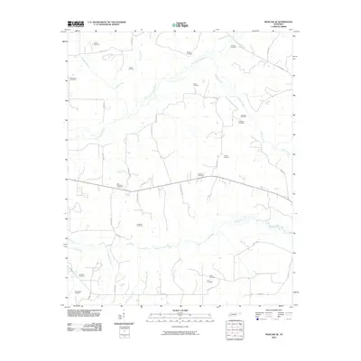
2010 Map of Moscow SE
USGS Topo · Published 2010About this map
The Wolf River and its northern branch, the North Fork Wolf River, dominate the drainage patterns of this Fayette County landscape. Numerous family and community burial grounds are scattered across the terrain, reflecting the deep-rooted local history and genealogical significance of the area. These include the Watkins Cemetery, Shiloh Cemetery, and Macedonia Cemetery in the northwestern quadrant, while the New Friendship Cemetery and Ambrose Cemetery sit central to the sheet. The southern reaches are marked by Mount Tena Creek and Clear Creek, with the latter flowing near the New Zion Cemetery and New Bethel Cemetery. The road network is primarily composed of rural routes like La Grange Rd and Yager Dr, which connect the disparate homesteads and cemeteries that define this agricultural and riverine region.
Find a feature on this map
41 named features on this map. Tap any name to fly to it.
Don’t see what you’re looking for? This feature index may not catch every label — zoom into the map to look around manually.
Map Details
Editions of this 2010 Moscow SE Map
This is the sole edition of this map. No revisions or reprints were ever made.
Other maps of this area

1949 · Moscow
USGS Topo · 1:62,500

1950 · Ashland
USGS Topo · 1:62,500

1950 · Grand Junction
USGS Topo · 1:24,000

1951 · Hickory Valley
USGS Topo · 1:24,000

1951 · Grand Junction
USGS Topo · 1:24,000

1953 · Holly Springs
USGS Topo · 1:62,500

1956 · Blytheville
USGS Topo · 1:250,000

1956 · Tupelo
USGS Topo · 1:250,000

1958 · Tupelo
USGS Topo · 1:250,000

1959 · Blytheville
USGS Topo · 1:250,000