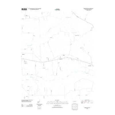
2013 Map of Moscow SE
USGS Topo · Published 2013About this map
The Wolf River and its tributary, the North Fork Wolf River, dominate the drainage patterns of this Fayette County landscape. Running through the southern and central portions of the map, these waterways are flanked by smaller streams such as Clear Cr and Mount Tena Cr, indicating a low-lying, water-rich environment. The settlement pattern is defined by the east-west corridor of State Route 57, which connects the established communities of Moscow and La Grange.
Find a feature on this map
56 named features on this map. Tap any name to fly to it.
Don’t see what you’re looking for? This feature index may not catch every label — zoom into the map to look around manually.
Map Details
Editions of this 2013 Moscow SE Map
This is the sole edition of this map. No revisions or reprints were ever made.
Other maps of this area

1949 · Moscow
USGS Topo · 1:62,500

1950 · Ashland
USGS Topo · 1:62,500

1950 · Grand Junction
USGS Topo · 1:24,000

1951 · Hickory Valley
USGS Topo · 1:24,000

1951 · Grand Junction
USGS Topo · 1:24,000

1953 · Holly Springs
USGS Topo · 1:62,500

1956 · Blytheville
USGS Topo · 1:250,000

1956 · Tupelo
USGS Topo · 1:250,000

1958 · Tupelo
USGS Topo · 1:250,000

1959 · Blytheville
USGS Topo · 1:250,000