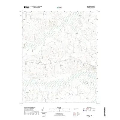
2019 Map of Moscow SE
USGS Topo · Published 2019About this map
The N Fork Wolf River and the main channel of the Wolf River dominate this Fayette County landscape, creating a complex wetland environment that defines the local geography. Between the settlements of Moscow and La Grange, the terrain is marked by numerous family and community burial grounds, such as New Friendship Cem and Shiloh Cem, which offer significant value for genealogical research. The small hamlets of Rather and Forty Five sit along the central transit corridor, while the southern reaches of the map show the braided channels of the river system near the Ghost River Board Walk. The presence of Hawks Nest Airport and Wilson Field suggests a continued reliance on small-scale aviation amidst the predominantly rural and hydrologically rich landscape of West Tennessee.
Find a feature on this map
64 named features on this map. Tap any name to fly to it.
Don’t see what you’re looking for? This feature index may not catch every label — zoom into the map to look around manually.
Map Details
Editions of this 2019 Moscow SE Map
This is the sole edition of this map. No revisions or reprints were ever made.
Other maps of this area

1949 · Moscow
USGS Topo · 1:62,500

1950 · Ashland
USGS Topo · 1:62,500

1950 · Grand Junction
USGS Topo · 1:24,000

1951 · Hickory Valley
USGS Topo · 1:24,000

1951 · Grand Junction
USGS Topo · 1:24,000

1953 · Holly Springs
USGS Topo · 1:62,500

1956 · Blytheville
USGS Topo · 1:250,000

1956 · Tupelo
USGS Topo · 1:250,000

1958 · Tupelo
USGS Topo · 1:250,000

1959 · Blytheville
USGS Topo · 1:250,000