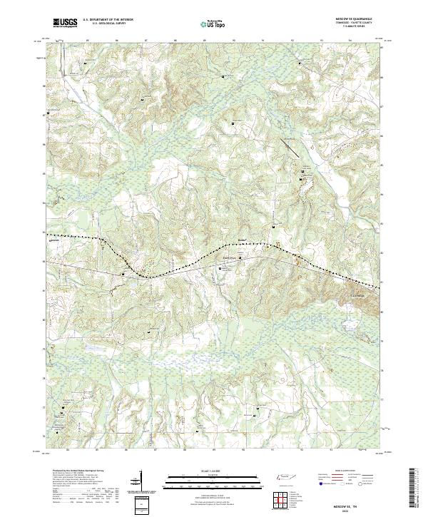
2022 Map of Moscow SE
USGS Topo · Published 2022About this map
The lowlands of the Wolf River and its North Fork define the landscape of southeastern Fayette County, where small agricultural communities are linked by winding country roads. This area is characterized by an exceptionally high density of historic burial sites, reflecting generations of family settlement. Genealogists will find an extensive network of cemeteries including Watkins Cem, Shiloh Cem, and Johnson Cem, alongside church-affiliated grounds such as the Forty-Five Baptist Church Cem.
Find a feature on this map
64 named features on this map. Tap any name to fly to it.
Don’t see what you’re looking for? This feature index may not catch every label — zoom into the map to look around manually.
Map Details
Editions of this 2022 Moscow SE Map
This is the sole edition of this map. No revisions or reprints were ever made.
Other maps of this area

1949 · Moscow
USGS Topo · 1:62,500

1950 · Ashland
USGS Topo · 1:62,500

1950 · Grand Junction
USGS Topo · 1:24,000

1951 · Hickory Valley
USGS Topo · 1:24,000

1951 · Grand Junction
USGS Topo · 1:24,000

1953 · Holly Springs
USGS Topo · 1:62,500

1956 · Blytheville
USGS Topo · 1:250,000

1956 · Tupelo
USGS Topo · 1:250,000

1958 · Tupelo
USGS Topo · 1:250,000

1959 · Blytheville
USGS Topo · 1:250,000