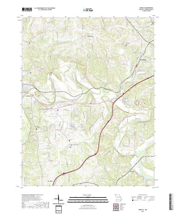
2021 Map of Moselle
USGS Topo · Published 2021About this map
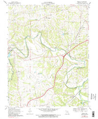
The Bourbeuse River snakes through the heart of Franklin County, defining the rural character of this landscape between the growing communities of Union and St. Clair. The map details a transition from the agricultural plateaus of Gildehouse to the river valleys where Birch Cr and Flat Cr join the main channel. Academic life is centered at East Central College and Central Methodist University - Union, located on the eastern edge of the county seat.
Find a feature on this map
154 named features on this map. Tap any name to fly to it.
Don’t see what you’re looking for? This feature index may not catch every label — zoom into the map to look around manually.
Map Details
Editions of this 2021 Moselle Map
This is the sole edition of this map. No revisions or reprints were ever made.
Historical Maps of Moselle Through Time
16 maps found
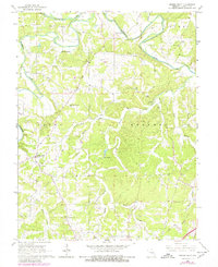
1966 Spring Bluff
Franklin County, MO
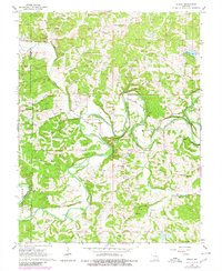
1966 Strain
Franklin County, MO
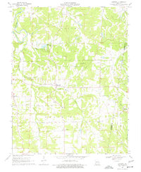
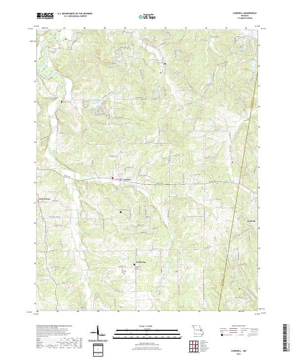
1969 Lonedell
Franklin County, MO
1969 Moselle
Franklin County, MO
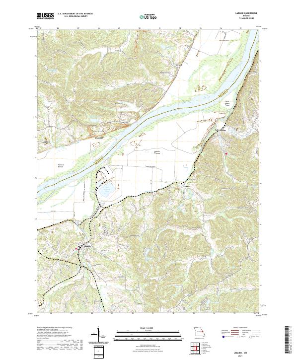
1972 Labadie
Franklin County, MO
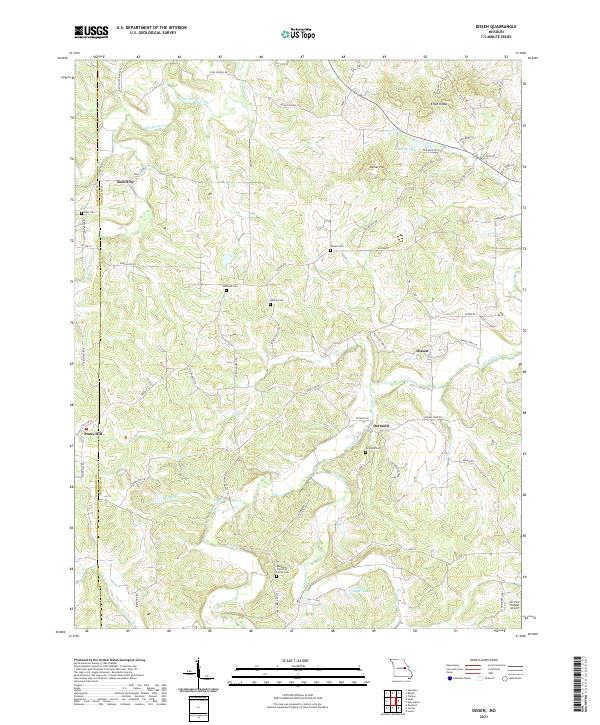
1973 Dissen
Franklin County, MO
1973 Washington West
Franklin County, MO
1980 Moselle
Franklin County, MO
2021 Dissen
Franklin County, MO
2021 Labadie
Franklin County, MO
2021 Lonedell
Franklin County, MO
2021 Moselle
Franklin County, MO
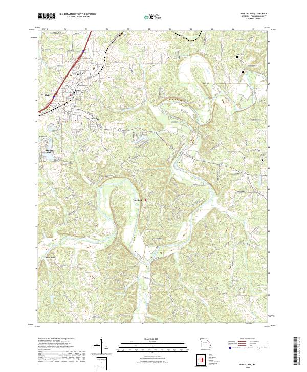
2021 Saint Clair
Franklin County, MO
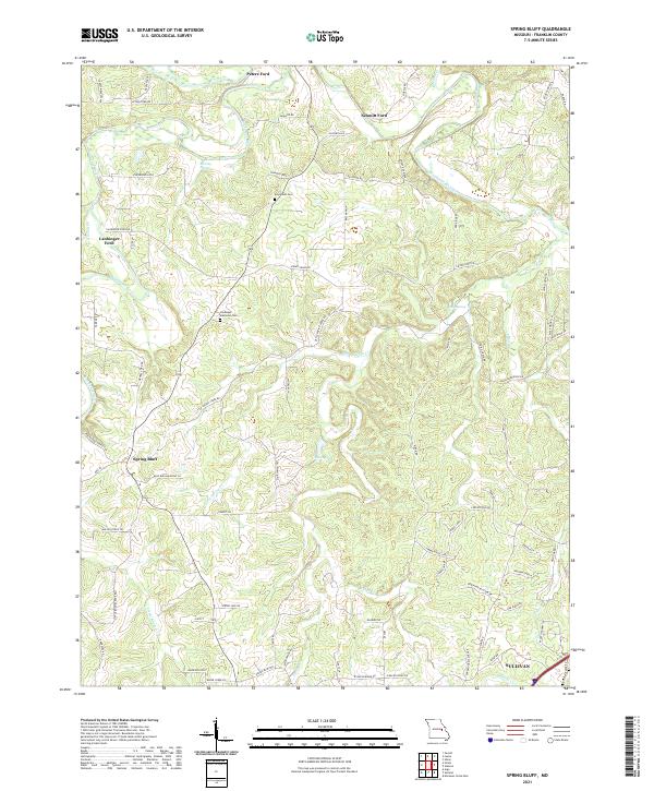
2021 Spring Bluff
Franklin County, MO
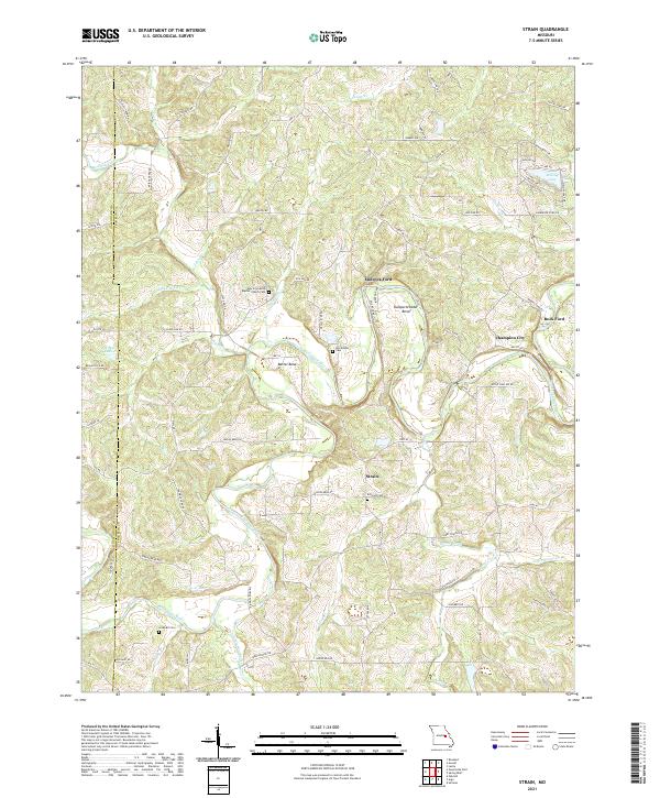
2021 Strain
Franklin County, MO
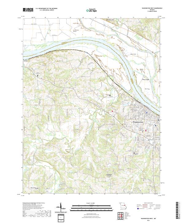
2021 Washington West
Franklin County, MO