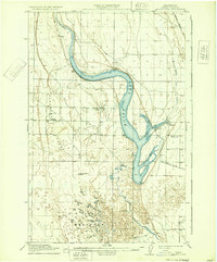
1912 Map of Moses Lake
USGS Topo · Published 1933About this map
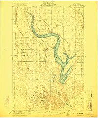
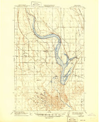
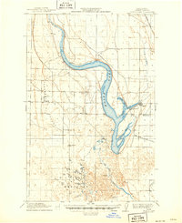
Moses Lake dominates this central Washington landscape as it appeared before the significant mid-century irrigation transformations. Fed by Rocky Ford Creek from the north, the lake's distinctive shape is defined by several long, narrow reaches including Lewis Horn, Parker Horn, and Pelican Horn. To the south, the water filters into the complex wetland network of The Potholes, where Crab Creek meanders through a labyrinth of small ponds and depressions.
Find a feature on this map
20 named features on this map. Tap any name to fly to it.
Don’t see what you’re looking for? This feature index may not catch every label — zoom into the map to look around manually.
Map Details
Editions of this 1912 Moses Lake Map
6 editions found

Other maps of this area

1910 · Winchester
USGS Topo · 1:62,500

1911 · Red Rock
USGS Topo · 1:62,500

1912 · Moses Lake
USGS Topo · 1:62,500

1923 · Corfu
USGS Topo · 1:62,500

1923 · Wheeler
USGS Topo · 1:62,500

1924 · Othello
USGS Topo · 1:62,500

1925 · Wheeler
USGS Topo · 1:62,500

1950 · Smyrna
USGS Topo · 1:62,500

1951 · Smyrna
USGS Topo · 1:62,500

1951 · Corfu
USGS Topo · 1:62,500