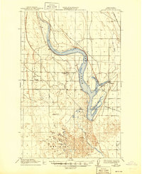
1912 Map of Moses Lake
USGS Topo · Published 1945About this map
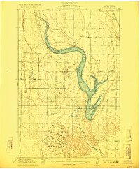
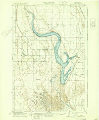
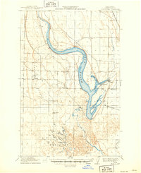
Moses Lake dominates the central landscape of Grant County in this early 20th-century survey, its distinctive shape defined by Lewis Horn, Parker Horn, and Pelican Horn. The settlement of Neppel sits on the eastern shore of the lake, while the smaller community of Mae is located to the west. This map captures the region's early educational development, marking rural locations for the West Shore School, Hiawatha School, and Camas Mounds School.
Find a feature on this map
18 named features on this map. Tap any name to fly to it.
Don’t see what you’re looking for? This feature index may not catch every label — zoom into the map to look around manually.
Map Details
Editions of this 1912 Moses Lake Map
6 editions found

Other maps of this area

1910 · Winchester
USGS Topo · 1:62,500

1911 · Red Rock
USGS Topo · 1:62,500

1912 · Moses Lake
USGS Topo · 1:62,500

1923 · Corfu
USGS Topo · 1:62,500

1923 · Wheeler
USGS Topo · 1:62,500

1924 · Othello
USGS Topo · 1:62,500

1925 · Wheeler
USGS Topo · 1:62,500

1950 · Smyrna
USGS Topo · 1:62,500

1951 · Smyrna
USGS Topo · 1:62,500

1951 · Corfu
USGS Topo · 1:62,500