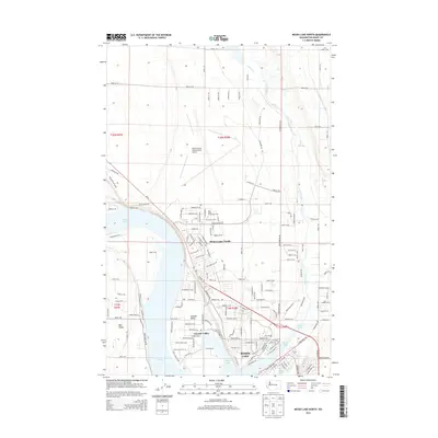
2014 Map of Moses Lake North
USGS Topo · Published 2014About this map
Moses Lake dominates this Central Washington landscape, its irregular shoreline and branching coulees defining the development of the surrounding communities. In the early 21st century, the area shows a distinct transition from the dense residential blocks of Moses Lake and Moses Lake North to the more open suburban and rural plots of Cascade Valley and Mae Valley. The vast infrastructure of the Grant County International Airport sits to the north, a remnant of the region's mid-century military aviation history that continues to influence the local economy. Education and community growth are anchored by Big Bend Community Coll, while the ephemeral Crab Creek winds through the northern coulees. Smaller residential pockets like Redmond and Vista Village are linked by a network of county roads and Wa-17, reflecting the modern expansion of these desert lakeside settlements.
Find a feature on this map
140 named features on this map. Tap any name to fly to it.
Don’t see what you’re looking for? This feature index may not catch every label — zoom into the map to look around manually.
Map Details
Editions of this 2014 Moses Lake North Map
This is the sole edition of this map. No revisions or reprints were ever made.
Other maps of this area

1912 · Moses Lake
USGS Topo · 1:62,500

1923 · Wheeler
USGS Topo · 1:62,500

1925 · Wheeler
USGS Topo · 1:62,500

1953 · Ritzville
USGS Topo · 1:250,000

1956 · Wheeler
USGS Topo · 1:24,000

1956 · Moses Lake South
USGS Topo · 1:24,000

1956 · Grant Orchards
USGS Topo · 1:24,000

1956 · Moses Lake North
USGS Topo · 1:24,000

1956 · Gloyd
USGS Topo · 1:24,000

1956 · Wilson Creek SW
USGS Topo · 1:24,000