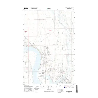
2017 Map of Moses Lake North
USGS Topo · Published 2017About this map
Grant County International Airport dominates the northern landscape of this 2017 survey, a massive infrastructure hub surrounded by the grid of t20n r28e and t20n r27e. The eastern shore of Moses Lake reveals a complex network of residential development and academic life centered around the Big Bend Community College. As the water reaches into Lewis Horn, the map shows the transition from the structured airfield to the suburban settlements of Moses Lake North, Cascade Valley, and Mae Valley.
Find a feature on this map
132 named features on this map. Tap any name to fly to it.
Don’t see what you’re looking for? This feature index may not catch every label — zoom into the map to look around manually.
Map Details
Editions of this 2017 Moses Lake North Map
This is the sole edition of this map. No revisions or reprints were ever made.
Other maps of this area

1912 · Moses Lake
USGS Topo · 1:62,500

1923 · Wheeler
USGS Topo · 1:62,500

1925 · Wheeler
USGS Topo · 1:62,500

1953 · Ritzville
USGS Topo · 1:250,000

1956 · Wheeler
USGS Topo · 1:24,000

1956 · Moses Lake South
USGS Topo · 1:24,000

1956 · Grant Orchards
USGS Topo · 1:24,000

1956 · Moses Lake North
USGS Topo · 1:24,000

1956 · Gloyd
USGS Topo · 1:24,000

1956 · Wilson Creek SW
USGS Topo · 1:24,000