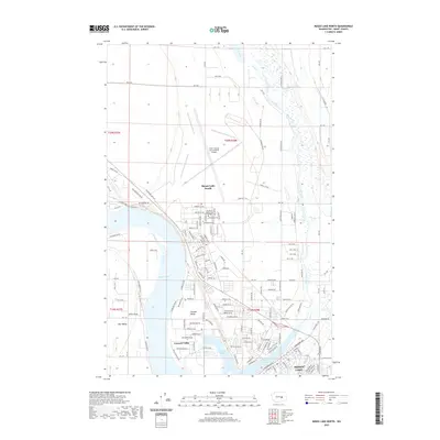
2020 Map of Moses Lake North
USGS Topo · Published 2020About this map
The northern reaches of Moses Lake define this high-desert landscape, where the intricate shorelines of Lewis Horn and Parker Horn meet the residential and educational developments of Grant County. Central to the map's eastern half is the massive footprint of the Grant County International Airport, a sprawling aviation hub that dominates the plateau above the lake. Adjacent to the airport, the campus of Big Bend Community College anchors the northern edge of the city, illustrating the area's mid-century transition from a remote agricultural region to a vital regional center for transportation and education.
Find a feature on this map
141 named features on this map. Tap any name to fly to it.
Don’t see what you’re looking for? This feature index may not catch every label — zoom into the map to look around manually.
Map Details
Editions of this 2020 Moses Lake North Map
This is the sole edition of this map. No revisions or reprints were ever made.
Other maps of this area

1912 · Moses Lake
USGS Topo · 1:62,500

1923 · Wheeler
USGS Topo · 1:62,500

1925 · Wheeler
USGS Topo · 1:62,500

1953 · Ritzville
USGS Topo · 1:250,000

1956 · Wheeler
USGS Topo · 1:24,000

1956 · Moses Lake South
USGS Topo · 1:24,000

1956 · Grant Orchards
USGS Topo · 1:24,000

1956 · Moses Lake North
USGS Topo · 1:24,000

1956 · Gloyd
USGS Topo · 1:24,000

1956 · Wilson Creek SW
USGS Topo · 1:24,000