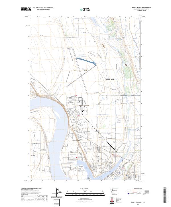
2023 Map of Moses Lake North
USGS Topo · Published 2023About this map
Grant County International Airport and a prominent installation for Joint Base Lewis-McChord dominate the landscape north of the city. This 2023 survey illustrates the modern expansion of Moses Lake North and Cascade Valley, where residential streets now grid the land between the distinct lake arms. The intricate shoreline of Moses Lake is a defining feature, with the map detailing the many inlets including Lewis Horn, Pelican Horn, and Parker Horn. In the eastern section, Crab Creek and the Rocky Coulee Wasteway reflect the region's managed water systems and irrigation history. Educational development is anchored by Big Bend Community College, situated near the airport's southern edge. This map provides a clear record of the complex interface between high-desert aviation hubs and lakeside suburban growth.
Find a feature on this map
107 named features on this map. Tap any name to fly to it.
Don’t see what you’re looking for? This feature index may not catch every label — zoom into the map to look around manually.
Map Details
Editions of this 2023 Moses Lake North Map
This is the sole edition of this map. No revisions or reprints were ever made.
Other maps of this area

1912 · Moses Lake
USGS Topo · 1:62,500

1923 · Wheeler
USGS Topo · 1:62,500

1925 · Wheeler
USGS Topo · 1:62,500

1953 · Ritzville
USGS Topo · 1:250,000

1956 · Wheeler
USGS Topo · 1:24,000

1956 · Moses Lake South
USGS Topo · 1:24,000

1956 · Grant Orchards
USGS Topo · 1:24,000

1956 · Moses Lake North
USGS Topo · 1:24,000

1956 · Gloyd
USGS Topo · 1:24,000

1956 · Wilson Creek SW
USGS Topo · 1:24,000