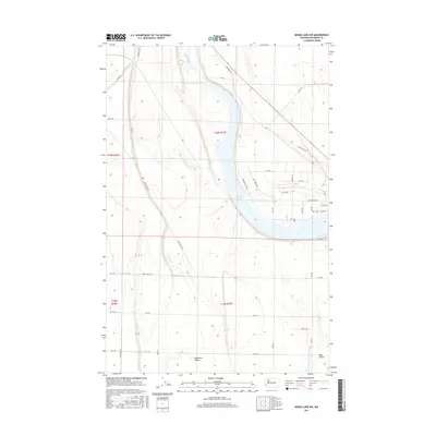
2017 Map of Moses Lake NW
USGS Topo · Published 2017About this map
Moses Lake arcs through this high desert landscape, serving as a primary hydrological focal point in Grant County. The area's agricultural identity is clearly defined by engineered waterways like Canal W-20 and the namesake Canal Rd, which support the farms dotting the terrain. The settlement of Mae Valley sits at the southern edge of the sheet, where the residential footprint begins to interface with the more open spaces of the Hiawatha Valley. A dense grid of rural roads, including Drumheller Rd and Mcconihe Rd Ne, organizes the landscape into distinct agricultural and residential blocks. Small seasonal drainage features like Rocky Ford Cr weave through the contours, illustrating the natural drainage patterns that existed before and alongside the region's extensive irrigation development.
Find a feature on this map
37 named features on this map. Tap any name to fly to it.
Don’t see what you’re looking for? This feature index may not catch every label — zoom into the map to look around manually.
Map Details
Editions of this 2017 Moses Lake NW Map
This is the sole edition of this map. No revisions or reprints were ever made.
Other maps of this area

1910 · Winchester
USGS Topo · 1:62,500

1912 · Moses Lake
USGS Topo · 1:62,500

1953 · Ritzville
USGS Topo · 1:250,000

1956 · Ephrata
USGS Topo · 1:62,500

1956 · Moses Lake South
USGS Topo · 1:24,000

1956 · Ephrata
USGS Topo · 1:24,000

1956 · Grant Orchards
USGS Topo · 1:24,000

1956 · Moses Lake North
USGS Topo · 1:24,000

1956 · Gloyd
USGS Topo · 1:24,000

1956 · Mae
USGS Topo · 1:24,000