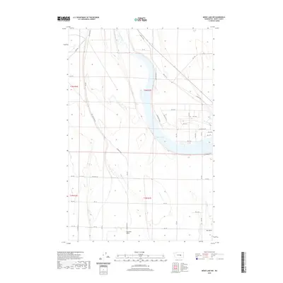
2020 Map of Moses Lake NW
USGS Topo · Published 2020About this map
Moses Lake serves as the centerpiece of this central Washington landscape, where the irregular shoreline and fingers of the lake meet a highly organized grid of rural infrastructure. The mapping reveals a complex network of water management features, including Canal W-20 and Canal W 20, which support the agricultural activity of the Columbia Basin. To the north, Rocky Ford Cr feeds into the upper reaches of the lake, while established settlements like Hiawatha Valley and Mae Valley anchor the residential developments in the southern half of the quadrangle.
Find a feature on this map
41 named features on this map. Tap any name to fly to it.
Don’t see what you’re looking for? This feature index may not catch every label — zoom into the map to look around manually.
Map Details
Editions of this 2020 Moses Lake NW Map
This is the sole edition of this map. No revisions or reprints were ever made.
Other maps of this area

1910 · Winchester
USGS Topo · 1:62,500

1912 · Moses Lake
USGS Topo · 1:62,500

1953 · Ritzville
USGS Topo · 1:250,000

1956 · Ephrata
USGS Topo · 1:62,500

1956 · Moses Lake South
USGS Topo · 1:24,000

1956 · Ephrata
USGS Topo · 1:24,000

1956 · Grant Orchards
USGS Topo · 1:24,000

1956 · Moses Lake North
USGS Topo · 1:24,000

1956 · Gloyd
USGS Topo · 1:24,000

1956 · Mae
USGS Topo · 1:24,000