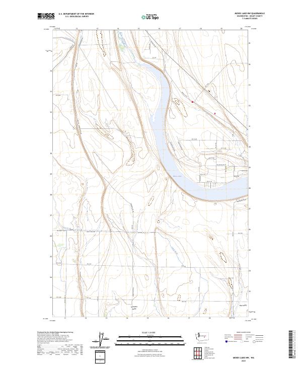
2023 Map of Moses Lake NW
USGS Topo · Published 2023About this map
Moses Lake dominates the eastern half of this landscape, its waters framed by the modern residential and rural infrastructure of Grant County. The map details the transition from the irrigated agricultural lands to the west toward the expanding residential pockets in Mae Valley and Hiawatha Valley. A sophisticated network of water management is visible through features like Canal W 20 and Rocky Ford Creek, which support the region's productivity. Local transportation is defined by a grid of numbered and named roads, including White Trail Rd and Drumheller Rd, reflecting the organized development of the Columbia Basin. The presence of Neppel Rd Ne and Stonecrest Rd Ne near the shoreline suggests a focus on lakeside living and utility in this contemporary survey of the high desert environment.
Find a feature on this map
42 named features on this map. Tap any name to fly to it.
Don’t see what you’re looking for? This feature index may not catch every label — zoom into the map to look around manually.
Map Details
Editions of this 2023 Moses Lake NW Map
This is the sole edition of this map. No revisions or reprints were ever made.
Other maps of this area

1910 · Winchester
USGS Topo · 1:62,500

1912 · Moses Lake
USGS Topo · 1:62,500

1953 · Ritzville
USGS Topo · 1:250,000

1956 · Ephrata
USGS Topo · 1:62,500

1956 · Moses Lake South
USGS Topo · 1:24,000

1956 · Ephrata
USGS Topo · 1:24,000

1956 · Grant Orchards
USGS Topo · 1:24,000

1956 · Moses Lake North
USGS Topo · 1:24,000

1956 · Gloyd
USGS Topo · 1:24,000

1956 · Mae
USGS Topo · 1:24,000