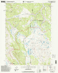
1996 Map of Mosquito Lake
USGS Topo · Published 1998About this map
The Teton Range dominates this 1990s landscape at the convergence of Teton, Fremont, and Sublette counties. Located within the Teton National Forest and Bridger National Forest, the terrain is defined by high-elevation plateaus and steep drainages like Bacon Ridge and Pinon Ridge. The network of 4wd tracks and trails indicates a backcountry used for resource management and recreation rather than permanent settlement. Evidence of remote activity is visible at the Hunting Camp and the high-altitude Kinky Creek Divide Airstrip. Water resources are abundant, from the central basin of Mosquito Lake to the meandering courses of Buffalo Creek and Wagon Creek. Several Drill Holes scattered across the ridges suggest exploratory mineral or geological surveying during the mid-to-late twentieth century, providing a detailed look at the land's industrial potential within protected forest boundaries.
Find a feature on this map
28 named features on this map. Tap any name to fly to it.
Don’t see what you’re looking for? This feature index may not catch every label — zoom into the map to look around manually.
Map Details
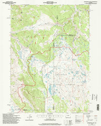
Editions of this 1996 Mosquito Lake Map
2 editions found
Other maps of this area

1902 · Mt Leidy
USGS Topo · 1:125,000

1905 · Younts Peak
USGS Topo · 1:125,000

1907 · Younts Peak
USGS Topo · 1:125,000

1907 · Gros Ventre
USGS Topo · 1:125,000

1909 · Fremont Peak
USGS Topo · 1:125,000

1910 · Gros Ventre
USGS Topo · 1:125,000

1955 · Driggs
USGS Topo · 1:250,000

1955 · Thermopolis
USGS Topo · 1:250,000

1956 · Fish Lake
USGS Topo · 1:24,000

1958 · Driggs
USGS Topo · 1:250,000