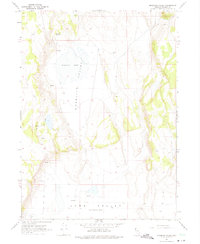
1966 Map of Mosquito Valley
USGS Topo · Published 1975About this map
Mosquito Valley defines the core of this Washoe County landscape, captured during a 1966 field check of 1965 aerial photography. The terrain is characterized by a stark high-desert hydrology where seasonal water sources and small seepages are critical landmarks. The intermittent waters of Mosquito Lake sit at the center of the valley, surrounded by numerous named springs such as Gravelly Spring and various unnamed Springs and Seeps. To the south, the map transitions into the Long Valley (Depression), a vast basin where the elevation drops below 5,550 feet. The sparse human footprint in this era is represented primarily by a network of unimproved Jeep Trails that navigate the slopes and valley floors, connecting these vital water points across the high desert basin.
Find a feature on this map
9 named features on this map. Tap any name to fly to it.
Don’t see what you’re looking for? This feature index may not catch every label — zoom into the map to look around manually.
Map Details
Editions of this 1966 Mosquito Valley Map
2 editions found
Other maps of this area

1889 · Long Valley
USGS Topo · 1:250,000

1954 · Vya
USGS Topo · 1:250,000

1958 · Vya
USGS Topo · 1:250,000

1962 · Vya
USGS Topo · 1:250,000
1966 · Barrel Springs
USGS Topo · 1:24,000

1966 · Massacre Lake NW
USGS Topo · 1:24,000
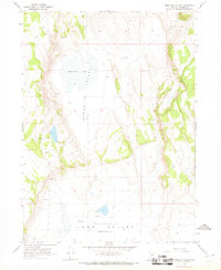
1966 · Mosquito Valley
USGS Topo · 1:24,000
1966 · Little Coleman Canyon
USGS Topo · 1:24,000
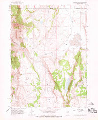
1966 · Coleman Canyon
USGS Topo · 1:24,000
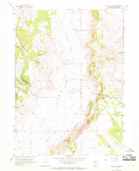
1966 · Calcutta Lake
USGS Topo · 1:24,000