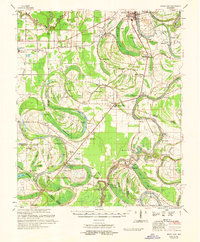
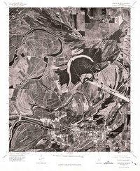
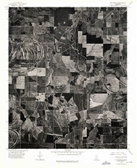
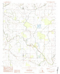
1961 Map of Mossy Lake
USGS Topo · Published 1962This historical map portrays the area of Mossy Lake in 1961, primarily covering Leflore County as well as portions of Sunflower County, Humphreys County, and Holmes County. Featuring a scale of 1:62500, this map provides a highly detailed snapshot of the terrain, roads, buildings, counties, and historical landmarks in the Mossy Lake region at the time. Published in 1962, it is one of 3 known editions of this map due to revisions or reprints.
Find a feature on this map
112 named features on this map. Tap any name to fly to it.
Don’t see what you’re looking for? This feature index may not catch every label — zoom into the map to look around manually.
Map Details
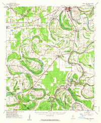
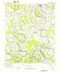
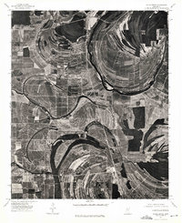
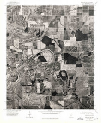
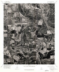
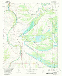
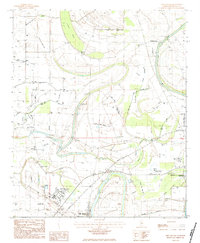
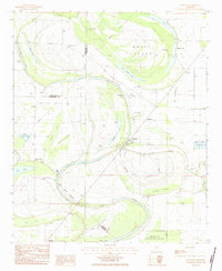
Editions of this 1961 Mossy Lake Map
3 editions found
Historical Maps of Egypt Through Time
13 maps found
1961 Mossy Lake
Leflore County, MS
1974 Greenwood NW
Leflore County, MS
1974 Greenwood SW
Leflore County, MS
1974 Schlater NE
Leflore County, MS
1974 Schlater NW
Leflore County, MS
1974 Schlater SE
Leflore County, MS
1974 Schlater SW
Leflore County, MS
1982 Money
Leflore County, MS
1983 Bear Gut Bayou
Leflore County, MS
1983 Colony Town
Leflore County, MS
1983 Rattlesnake Bayou
Leflore County, MS
1983 Shellmound
Leflore County, MS
1983 Swiftown
Leflore County, MS