
1961 Map of Mossy Lake
USGS Topo · Published 1962About this map
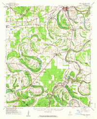
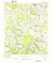
The Yazoo River and Quiver River dominate this complex Delta landscape, where a dense network of oxbow lakes, brakes, and bayous reveals the historic hydrological patterns of Leflore County. In the early 1960s, the region was defined by its agricultural settlements and numerous rural congregations, such as Mt. Maria Ch and Cypress Grove Ch. The influence of the Columbus and Greenville railroad is evident, connecting towns like Itta Bena and Moorhead to the broader cotton economy. Evidence of much older habitation is marked by the Indian Mound near Roebuck Lake. This survey highlights the intricate water control efforts of the era, showing various flood gates and dikes near the junction of the Yazoo River and Mossy Lake. Genealogists will find value in the specific placement of family-named landmarks like McLean Spur and several small burial grounds, including McIntyre Cem and Robinson Cem.
Find a feature on this map
112 named features on this map. Tap any name to fly to it.
Don’t see what you’re looking for? This feature index may not catch every label — zoom into the map to look around manually.
Map Details
Editions of this 1961 Mossy Lake Map
3 editions found
Other maps of this area

1931 · Schlater
USGS Topo · 1:48,000

1934 · Cleveland
USGS Topo · 1:62,500

1934 · Schlater
USGS Topo · 1:62,500

1936 · Greenwood
USGS Topo · 1:62,500

1939 · Schlater
USGS Topo · 1:62,500

1940 · Seven Pines
USGS Topo · 1:62,500

1940 · Auter
USGS Topo · 1:62,500

1940 · Baird
USGS Topo · 1:62,500

1940 · Lexington
USGS Topo · 1:62,500

1940 · Greenwood
USGS Topo · 1:62,500