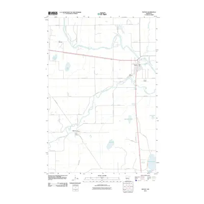
2010 Map of Motley
USGS Topo · Published 2010About this map
The Crow-Wing River and Long Prairie River converge just south of Motley, defining the hydrography of this central Minnesota landscape. At this time, the village of Motley serves as a local hub, anchored by the Motley Post Office and the nearby Moreys Airport. The transition from riverine wetlands to higher ground is marked by features like the Lois Lake Bed and numerous smaller water bodies such as Toms Lake and Stones Lake.
Find a feature on this map
48 named features on this map. Tap any name to fly to it.
Don’t see what you’re looking for? This feature index may not catch every label — zoom into the map to look around manually.
Map Details
Editions of this 2010 Motley Map
This is the sole edition of this map. No revisions or reprints were ever made.
Other maps of this area

1948 · Cushing
USGS Topo · 1:62,500

1950 · Cushing
USGS Topo · 1:62,500

1953 · Brainerd
USGS Topo · 1:250,000

1957 · Brainerd
USGS Topo · 1:250,000

1958 · Brainerd
USGS Topo · 1:250,000
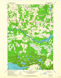
1963 · Motley SE
USGS Topo · 1:24,000

1963 · Motley
USGS Topo · 1:24,000

1965 · Brainerd
USGS Topo · 1:250,000

1966 · Staples NE
USGS Topo · 1:24,000
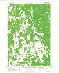
1966 · Casino
USGS Topo · 1:24,000