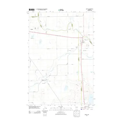
2013 Map of Motley
USGS Topo · Published 2013About this map
The confluence of the Long Prairie River and the Crow Wing River anchors this landscape at the intersection of four Minnesota counties. The town of Motley serves as a central hub where Us-10, MN-210, and MN-64 meet, supporting local commerce and travel near the Post Office and Morey's Airport. To the southwest, the smaller settlement of Philbrook sits along the winding path of the Long Prairie River, accompanied by Saint James Cem.
Find a feature on this map
65 named features on this map. Tap any name to fly to it.
Don’t see what you’re looking for? This feature index may not catch every label — zoom into the map to look around manually.
Map Details
Editions of this 2013 Motley Map
This is the sole edition of this map. No revisions or reprints were ever made.
Other maps of this area

1948 · Cushing
USGS Topo · 1:62,500

1950 · Cushing
USGS Topo · 1:62,500

1953 · Brainerd
USGS Topo · 1:250,000

1957 · Brainerd
USGS Topo · 1:250,000

1958 · Brainerd
USGS Topo · 1:250,000
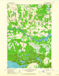
1963 · Motley SE
USGS Topo · 1:24,000

1963 · Motley
USGS Topo · 1:24,000

1965 · Brainerd
USGS Topo · 1:250,000

1966 · Staples NE
USGS Topo · 1:24,000
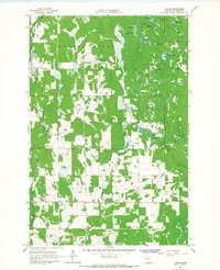
1966 · Casino
USGS Topo · 1:24,000