
2016 Map of Motley
USGS Topo · Published 2016About this map
The Crow Wing River and Long Prairie River converge near the settlement of Motley, anchoring a landscape where four counties—Wadena, Cass, Todd, and Morrison—all meet. This 2016 survey highlights a region defined by its water and woods, from the sprawling Shamineau Lake in the southeast to the drained Lois Lake Bed in the northwest. The village of Philbrook sits along the southern reaches of the Long Prairie River, providing a secondary hub in an area characterized by family-named landmarks and rural infrastructure. Local history is anchored at Motley Cem and Saint James Cem, while the inclusion of Morey's Airport and routes like Co HWY 33 indicate the modern connectivity of this north-central Minnesota crossroads. The map also traces smaller waterways like Fish Trap Cr and Mosquito Cr through the extensive wetlands and woodlots that separate these historic settlements.
Find a feature on this map
52 named features on this map. Tap any name to fly to it.
Don’t see what you’re looking for? This feature index may not catch every label — zoom into the map to look around manually.
Map Details
Editions of this 2016 Motley Map
This is the sole edition of this map. No revisions or reprints were ever made.
Other maps of this area

1948 · Cushing
USGS Topo · 1:62,500

1950 · Cushing
USGS Topo · 1:62,500

1953 · Brainerd
USGS Topo · 1:250,000

1957 · Brainerd
USGS Topo · 1:250,000

1958 · Brainerd
USGS Topo · 1:250,000
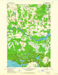
1963 · Motley SE
USGS Topo · 1:24,000

1963 · Motley
USGS Topo · 1:24,000

1965 · Brainerd
USGS Topo · 1:250,000

1966 · Staples NE
USGS Topo · 1:24,000
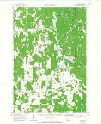
1966 · Casino
USGS Topo · 1:24,000