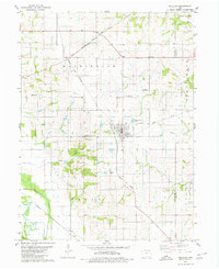
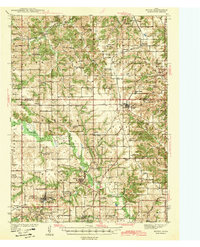
1979 Map of Moulton
USGS Topo · Published 1980About this map
Moulton stands as a central rail hub in the late 1970s, situated at the junction of the Norfolk and Western and the Chicago Rock Island and Pacific lines. This portion of the Iowa borderlands near the Appanoose and Davis County line reveals a landscape of orderly township grids and established family cemeteries. Small rural communities like Orleans and Dean dot the countryside, connected by secondary roads and the remnants of an Old Railroad Grade.
Find a feature on this map
27 named features on this map. Tap any name to fly to it.
Don’t see what you’re looking for? This feature index may not catch every label — zoom into the map to look around manually.
Map Details
Editions of this 1979 Moulton Map
This is the sole edition of this map. No revisions or reprints were ever made.
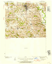
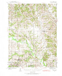
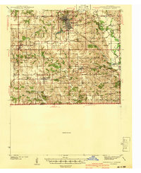
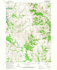
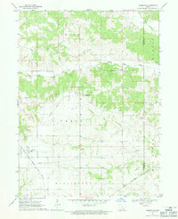
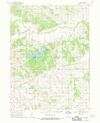
Other maps of this area
1939 · Centerville
USGS Topo · 1:62,500
1939 · Mystic
USGS Topo · 1:62,500
1941 · Centerville
USGS Topo · 1:62,500
1942 · Mystic
USGS Topo · 1:62,500

1954 · Centerville
USGS Topo · 1:250,000

1957 · Centerville
USGS Topo · 1:250,000

1958 · Centerville
USGS Topo · 1:250,000
1966 · Hiattsville
USGS Topo · 1:24,000
1968 · Unionville
USGS Topo · 1:24,000
1968 · Paris
USGS Topo · 1:24,000