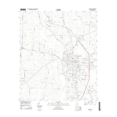
2014 Map of Moultrie
USGS Topo · Published 2014About this map
Moultrie serves as the focal point for this 2014 survey, illustrating the city's modern layout and its connection to surrounding Colquitt County settlements like Kirkwood and South Moultrie. The landscape is defined by the winding course of the Ochlockonee River, which flows past smaller communities such as Schley and Ganor. Significant hydrological features like Demott Lake and Giles Millpond contrast with the dense network of county roads and highways that converge on the city center.
Find a feature on this map
206 named features on this map. Tap any name to fly to it.
Don’t see what you’re looking for? This feature index may not catch every label — zoom into the map to look around manually.
Map Details
Editions of this 2014 Moultrie Map
This is the sole edition of this map. No revisions or reprints were ever made.
Other maps of this area

1953 · Waycross
USGS Topo · 1:250,000

1956 · Doerun
USGS Topo · 1:62,500

1958 · Waycross
USGS Topo · 1:250,000

1973 · Norman Park
USGS Topo · 1:24,000
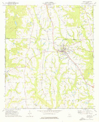
1974 · Doerun
USGS Topo · 1:24,000
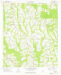
1974 · Sigsbee
USGS Topo · 1:24,000

1974 · Pineboro
USGS Topo · 1:24,000
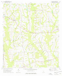
1974 · Hartsfield
USGS Topo · 1:24,000
1977 · Chastain
USGS Topo · 1:24,000
1978 · Coolidge
USGS Topo · 1:24,000