Loading...
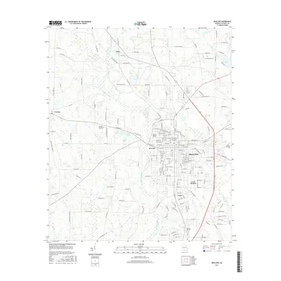
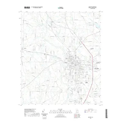
Loading map...2024 Map of Moultrie
USGS Topo · Published 2024About this map
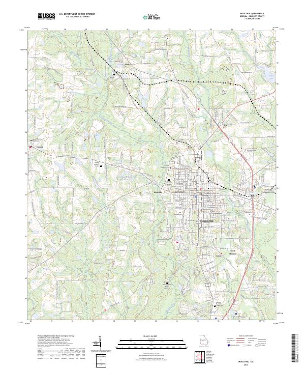
The Colquitt County Courthouse anchors this modern record of South Georgia, where the city of Moultrie expands outward into the agricultural and wooded landscapes of the coastal plain. The urban core gives way to smaller communities like Riverside, Ganor, and South Moultrie, while the outlying areas preserve a history of rural worship and burial at the Schley Baptist Church Cem and Funston Baptist Church Cem.
Find a feature on this map
209 named features on this map. Tap any name to fly to it.
Don’t see what you’re looking for? This feature index may not catch every label — zoom into the map to look around manually.
Map Details
Date Portrayed2024
Date Published2024
PublisherU.S. Geological Survey
Map TypeTopographic
Scale1:24,000
Physical Dimensions24 x 29 inches
Editions of this 2024 Moultrie Map
This is the sole edition of this map. No revisions or reprints were ever made.
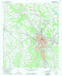
Historical Maps of Moultrie Through Time
7 maps found

Featured Locations
Source Details
SourceU.S. Geological Survey
CopyrightPublic Domain