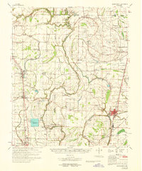
1968 Map of Mound Bayou
USGS Topo · Published 1968About this map
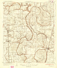
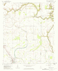
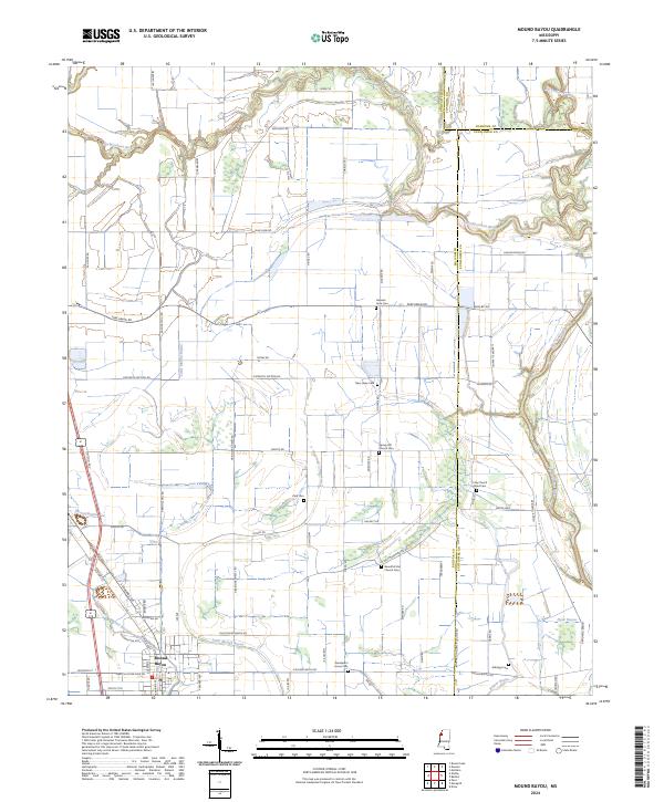
State Penal Farm occupies a massive footprint in this Mississippi Delta landscape, defining the rural character of the region alongside the winding Big Sunflower River. The survey captures a network of African American settlements and historic institutions, including the town of Mound Bayou with its Mound Bayou School and numerous small country churches like Beautiful Star Ch and Wander Home Ch. The Illinois Central railroad corridor serves as the primary spine for commerce, connecting established agricultural centers such as Merigold, Cleveland, and Drew.
Find a feature on this map
73 named features on this map. Tap any name to fly to it.
Don’t see what you’re looking for? This feature index may not catch every label — zoom into the map to look around manually.
Map Details
Editions of this 1968 Mound Bayou Map
This is the sole edition of this map. No revisions or reprints were ever made.
Historical Maps of Cleveland Through Time
8 maps found