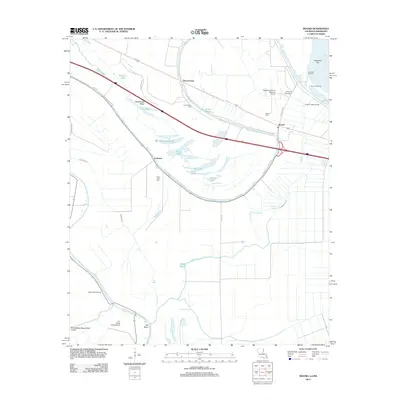
2012 Map of Mound
USGS Topo · Published 2012About this map
The low-lying delta lands of Madison Parish are defined by an intricate network of ancient watercourses and modern aviation infrastructure. Thomastown and Mound anchor the eastern landscape near the Mississippi River, where the Vicksburg Tallulah Regional Airport and various private runways like the Yerger Landing Strip suggest the importance of crop dusting and regional transport in this agricultural corridor. Long-established burials at Saint John Cem, Mound Cem, and Thomastown Cem provide essential anchor points for genealogists tracing families in this flood-prone environment.
Find a feature on this map
39 named features on this map. Tap any name to fly to it.
Don’t see what you’re looking for? This feature index may not catch every label — zoom into the map to look around manually.
Map Details
Editions of this 2012 Mound Map
This is the sole edition of this map. No revisions or reprints were ever made.
Other maps of this area

1909 · Millikens Bend
USGS Topo · 1:24,000

1909 · Tallulah
USGS Topo · 1:24,000

1909 · Mound
USGS Topo · 1:24,000

1910 · Mound
USGS Topo · 1:31,680

1918 · Vicksburg
USGS Topo · 1:62,500

1939 · Talla Bena
USGS Topo · 1:62,500

1939 · Yokena
USGS Topo · 1:62,500

1941 · Vicksburg
USGS Topo · 1:62,500

1955 · Jackson
USGS Topo · 1:250,000

1961 · Jackson
USGS Topo · 1:250,000