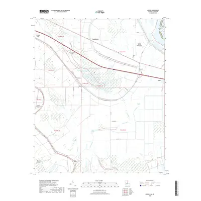
2018 Map of Mound
USGS Topo · Published 2018About this map
Thomastown and Mound anchor this low-lying landscape in Madison Parish, where the complex hydrology of the Mississippi Delta is on full display. The area is defined by a network of bayous and remnant oxbow lakes, including Sip Lake, Sandbank Lake, and the expansive Big Lake, which reveal the historical movement of water through the alluvial plain. High ground is found at Rattlesnake Ridge, a subtle elevation change in an otherwise level environment dominated by agricultural drainages like Cypress Bayou and Gar Bayou.
Find a feature on this map
51 named features on this map. Tap any name to fly to it.
Don’t see what you’re looking for? This feature index may not catch every label — zoom into the map to look around manually.
Map Details
Editions of this 2018 Mound Map
This is the sole edition of this map. No revisions or reprints were ever made.
Other maps of this area

1909 · Millikens Bend
USGS Topo · 1:24,000

1909 · Tallulah
USGS Topo · 1:24,000

1909 · Mound
USGS Topo · 1:24,000

1910 · Mound
USGS Topo · 1:31,680

1918 · Vicksburg
USGS Topo · 1:62,500

1939 · Talla Bena
USGS Topo · 1:62,500

1939 · Yokena
USGS Topo · 1:62,500

1941 · Vicksburg
USGS Topo · 1:62,500

1955 · Jackson
USGS Topo · 1:250,000

1961 · Jackson
USGS Topo · 1:250,000