2024 Map of Mound
USGS Topo · Published 2024About this map
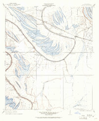
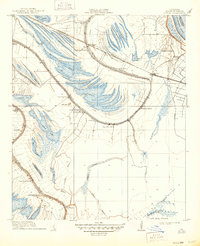
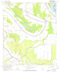
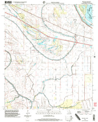
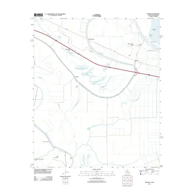
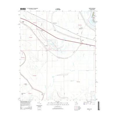
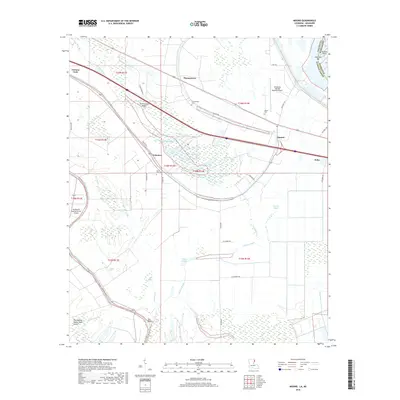
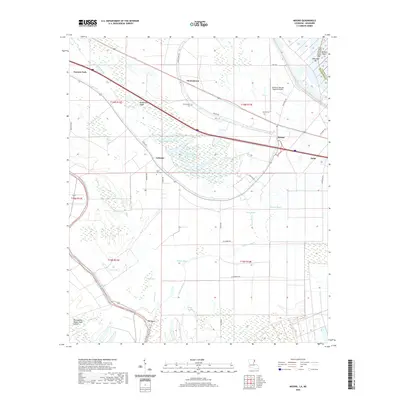
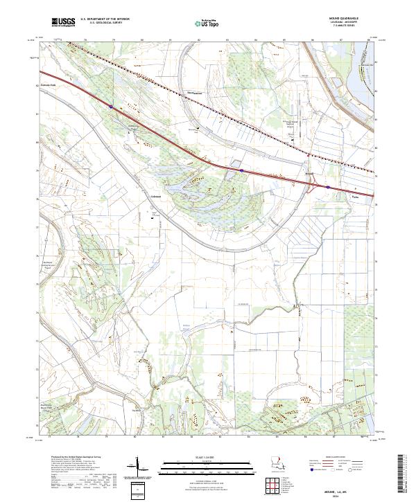
Mississippi River frontage and the winding corridors of the Delta bayous define this Madison Parish landscape. The map details the transition from the higher ground of Rattlesnake Ridge to the low-lying waters of The Basin, where complex hydrology is marked by Roundaway-Bayou Vidal Cutoff. Small agricultural communities like Mound and Thomastown are clustered along major transit lines, each anchored by local landmarks such as Mound Cem and Thomastown Cem. For those researching family history in the region, the placement of Saint John Cem near Coleman and the industrial presence of the Vicksburg Tallulah Regional Airport provide essential modern context for these long-established Louisiana settlements. The landscape is a network of named lakes and bayous, including Long Lake, Texas Lake, and Cypress Bayou, reflecting the intricate alluvial geography of the parish.
Find a feature on this map
47 named features on this map. Tap any name to fly to it.
Don’t see what you’re looking for? This feature index may not catch every label — zoom into the map to look around manually.
Map Details
Editions of this 2024 Mound Map
This is the sole edition of this map. No revisions or reprints were ever made.
Historical Maps of Delta Through Time
9 maps found