Loading...
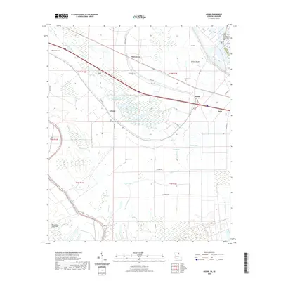
Loading map...1963 Map of Mound
USGS Topo · Published 1977About this map
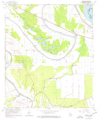
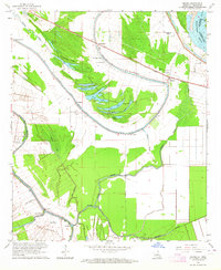
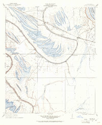
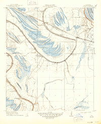
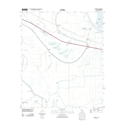
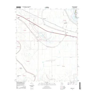
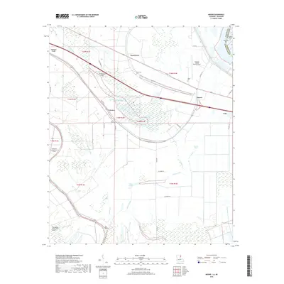
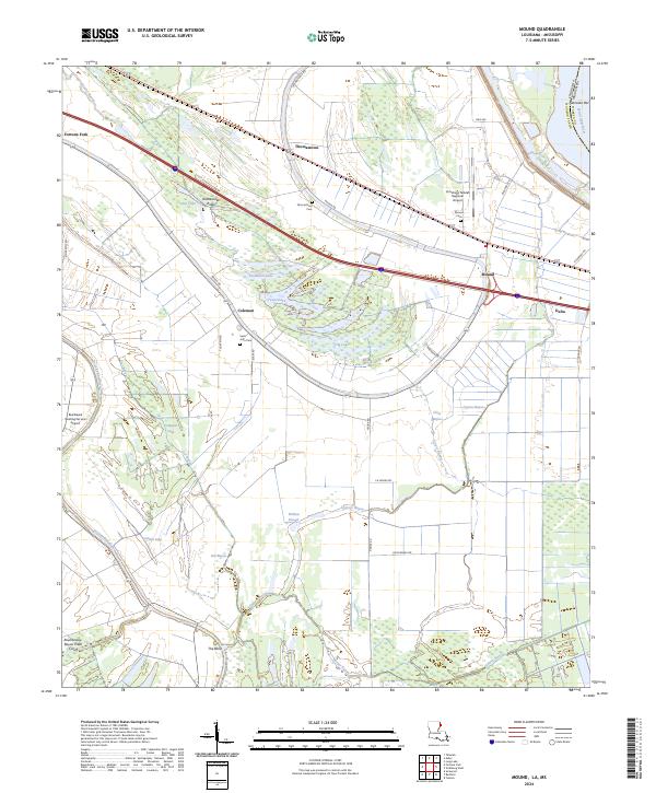
Walnut Bayou and Roundaway Bayou define the alluvial landscape of this Madison Parish region during the early 1960s. The topography is dominated by an intricate network of oxbow lakes and ridges, such as Rattlesnake Ridge, Sip Lake, and Texas Lake, illustrating the shifting path of the nearby Mississippi River. Human activity is concentrated along the higher ground and the Illinois Central corridor, where the small settlement of Mound serves as a local hub.
Find a feature on this map
47 named features on this map. Tap any name to fly to it.
Don’t see what you’re looking for? This feature index may not catch every label — zoom into the map to look around manually.
Map Details
Date Portrayed1963
Date Published1977
PublisherU.S. Geological Survey
Map TypeTopographic
Scale1:24,000
Physical Dimensions21.9 x 26.7 inches
Editions of this 1963 Mound Map
2 editions found
Historical Maps of Delta Through Time
9 maps found
Featured Locations
Source Details
SourceU.S. Geological Survey
CopyrightPublic Domain