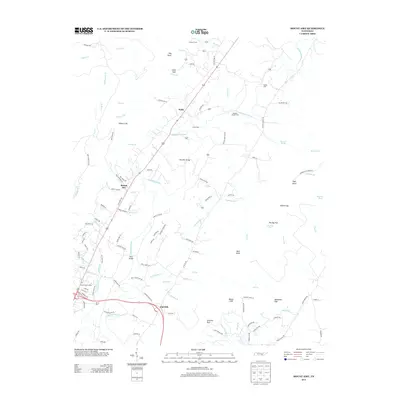
2013 Map of Mount Airy
USGS Topo · Published 2013About this map
The Sequatchie River forms the central artery of this valley landscape, flanked by a network of rural settlements and family-named crossings. Small communities like Mount Airy and Pailo are positioned along the primary north-south corridor, while Elm Hill sits near the southern bend of the river. The map documents several important points of river access, including Kelly Bridge and Standifer Bridge, alongside traditional fords such as Stephen Chapel Ford and Harris Ford.
Find a feature on this map
112 named features on this map. Tap any name to fly to it.
Don’t see what you’re looking for? This feature index may not catch every label — zoom into the map to look around manually.
Map Details
Editions of this 2013 Mount Airy Map
This is the sole edition of this map. No revisions or reprints were ever made.
Other maps of this area

1888 · Chattanooga
USGS Topo · 1:125,000

1892 · Pikeville
USGS Topo · 1:125,000

1893 · Chattanooga
USGS Topo · 1:125,000

1895 · Pikeville
USGS Topo · 1:125,000

1909 · Sequatchie Valley
USGS Topo · 1:62,500

1910 · Pikeville
USGS Topo · 1:62,500

1935 · Soddy
USGS Topo · 1:24,000

1935 · Brockdell
USGS Topo · 1:24,000

1935 · Brayton
USGS Topo · 1:24,000

1935 · Mount Airy
USGS Topo · 1:24,000