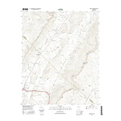
2016 Map of Mount Airy
USGS Topo · Published 2016About this map
The Sequatchie River carves a deep path through the center of this Tennessee landscape, framed by the towering heights of Walden Ridge to the east and the Cumberland Escarpment to the west. This corridor, the Sequatchie Valley, concentrates the region's human history along its floor, where family legacies are marked by numerous small graveyards such as Collier Cem, Lamb Cem, and Hughes Cem. The settlement of Dunlap anchors the southern end of the valley, while smaller communities like Mount Airy and Pailo serve as historical waypoints along the Old State Hwy 28 and Old York Hwy corridors. Notable landmarks including Standifer Bridge and Kelly Bridge provide critical crossings over the river, while natural features like Swanner Pass and Alexander Gap reveal the traditional routes used to traverse the imposing ridges that define the valley's borders.
Find a feature on this map
114 named features on this map. Tap any name to fly to it.
Don’t see what you’re looking for? This feature index may not catch every label — zoom into the map to look around manually.
Map Details
Editions of this 2016 Mount Airy Map
This is the sole edition of this map. No revisions or reprints were ever made.
Other maps of this area

1888 · Chattanooga
USGS Topo · 1:125,000

1892 · Pikeville
USGS Topo · 1:125,000

1893 · Chattanooga
USGS Topo · 1:125,000

1895 · Pikeville
USGS Topo · 1:125,000

1909 · Sequatchie Valley
USGS Topo · 1:62,500

1910 · Pikeville
USGS Topo · 1:62,500

1935 · Soddy
USGS Topo · 1:24,000

1935 · Brockdell
USGS Topo · 1:24,000

1935 · Brayton
USGS Topo · 1:24,000

1935 · Mount Airy
USGS Topo · 1:24,000